
What Are UAV Systems? Aircraft, Payloads and Ground Equipment
UAV systems are the complete setups used to operate uncrewed aircraft: the aircraft itself, its payload, ground controls, communications links and supporting equipment. A drone may be the most visible component, but it cannot deliver a dependable survey or inspection without the rest.
For operators, survey companies, utilities and emergency services, this distinction affects purchasing and daily work. A capable airframe can still disappoint if its sensor produces unsuitable data, its communications fail at the worksite or its batteries cannot support the schedule. Start with the job and assess the whole system.
UAV, UAS and drone: what the terms mean
UAV stands for unmanned aerial vehicle, although uncrewed aerial vehicle is also used. It refers to the aircraft. UAS, or unmanned aircraft system, describes the aircraft together with the equipment needed to operate it.
Drone is the everyday term. It can mean the aircraft alone or the wider setup, depending on context. RPAS, meaning remotely piloted aircraft system, emphasises that a remote pilot controls the aircraft. Automated flight functions do not necessarily make an aircraft autonomous.
Suppliers sometimes use these labels loosely. In a procurement specification, define the boundary explicitly: does the quoted package include the controller, sensor, batteries, chargers and software, or only the aircraft? Also separate equipment ownership costs from the ongoing work needed to operate and maintain it.
The core components of UAV systems
The following components work together, but they do different jobs. Keeping those jobs separate helps you identify whether a limitation comes from the aircraft, the sensor, the radio link or the operating process.
Aircraft, propulsion and onboard flight controls
The aircraft includes the airframe, propulsion, flight controller and onboard sensors that keep it stable. Motors, propellers, electronic speed controllers and batteries must work within the aircraft's manufacturer-specified configuration and loading limits.
An autopilot combines sensor inputs to control attitude and follow commands. Depending on the design, those inputs may include satellite positioning, inertial measurements, barometric height and obstacle sensors. None provides perfect awareness of the surroundings. Their redundancy and integration vary between aircraft designs.
For UAV systems used near infrastructure, assess wind handling, manoeuvrability and the space needed for take-off and landing. Check the operating temperature limits and environmental protection stated by the manufacturer. A weather-resistance rating is not permission to ignore rain, icing or wind restrictions in the aircraft manual.
Payloads: match the sensor to the required output
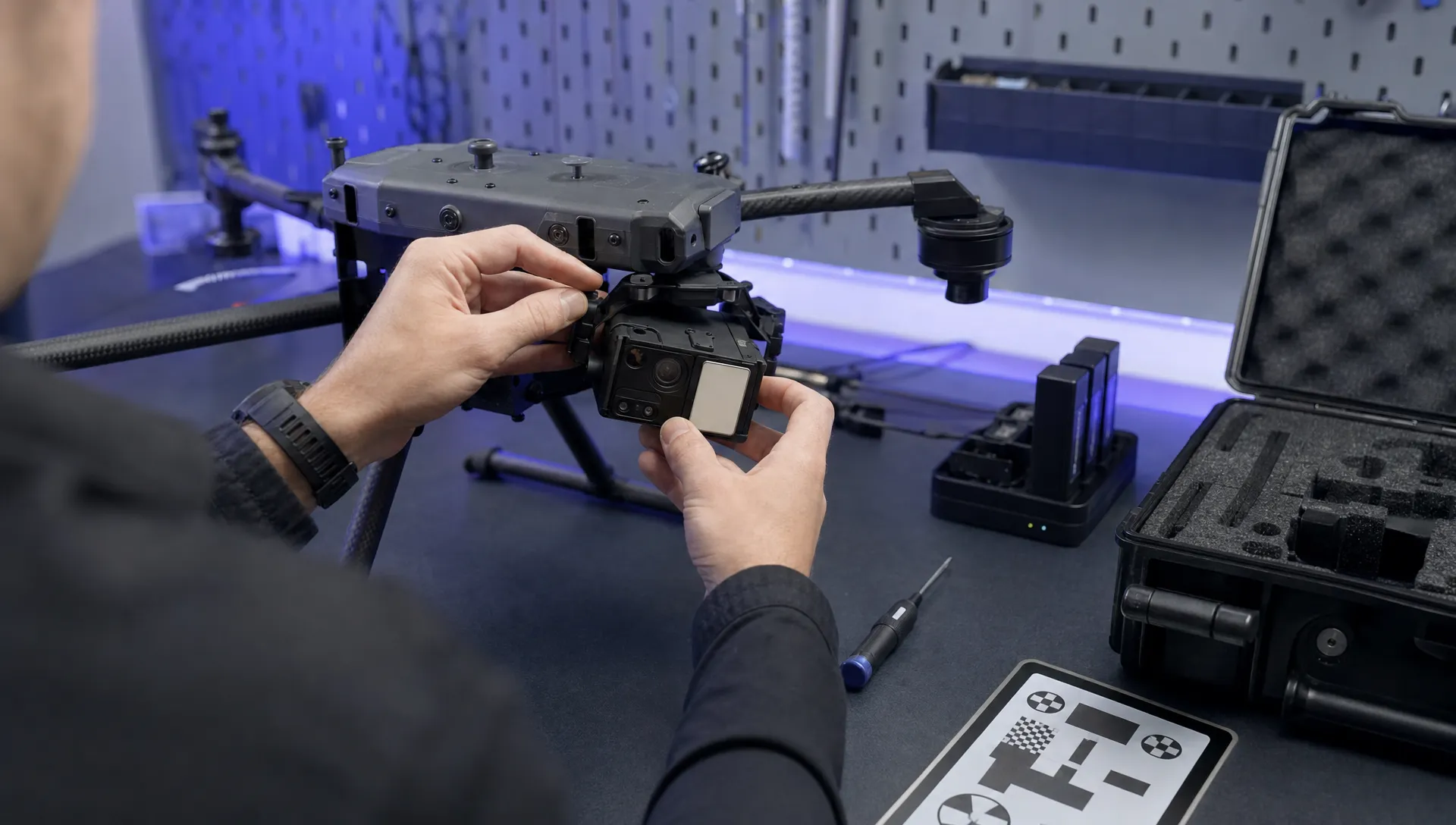
Payloads are the equipment carried to do the job. A camera is a payload; so are a thermal imager, LiDAR scanner, multispectral sensor or delivery mechanism. Some payloads are integrated into the aircraft, while others are removable.
RGB cameras support visual inspection, mapping and photogrammetry. For surveys, image sharpness, shutter behaviour, overlap and positioning all affect the usable output. Megapixel count alone does not establish survey accuracy.
Thermal cameras record infrared radiation that can support temperature assessment and fault investigation. Measurements depend on factors such as emissivity, reflections, viewing angle and environmental conditions. A bright area in a thermal image is not, by itself, a confirmed defect.
LiDAR measures distances using laser pulses and can produce point clouds. Returns through gaps in vegetation may help describe terrain, but dense cover and acquisition geometry can still limit results.
In UAV systems procurement, check payload compatibility, mounting, power draw and processing requirements. A heavier sensor reduces the capacity available for other equipment and can shorten endurance. Ask for representative datasets, not only demonstration footage.
Ground control stations and supporting ground equipment
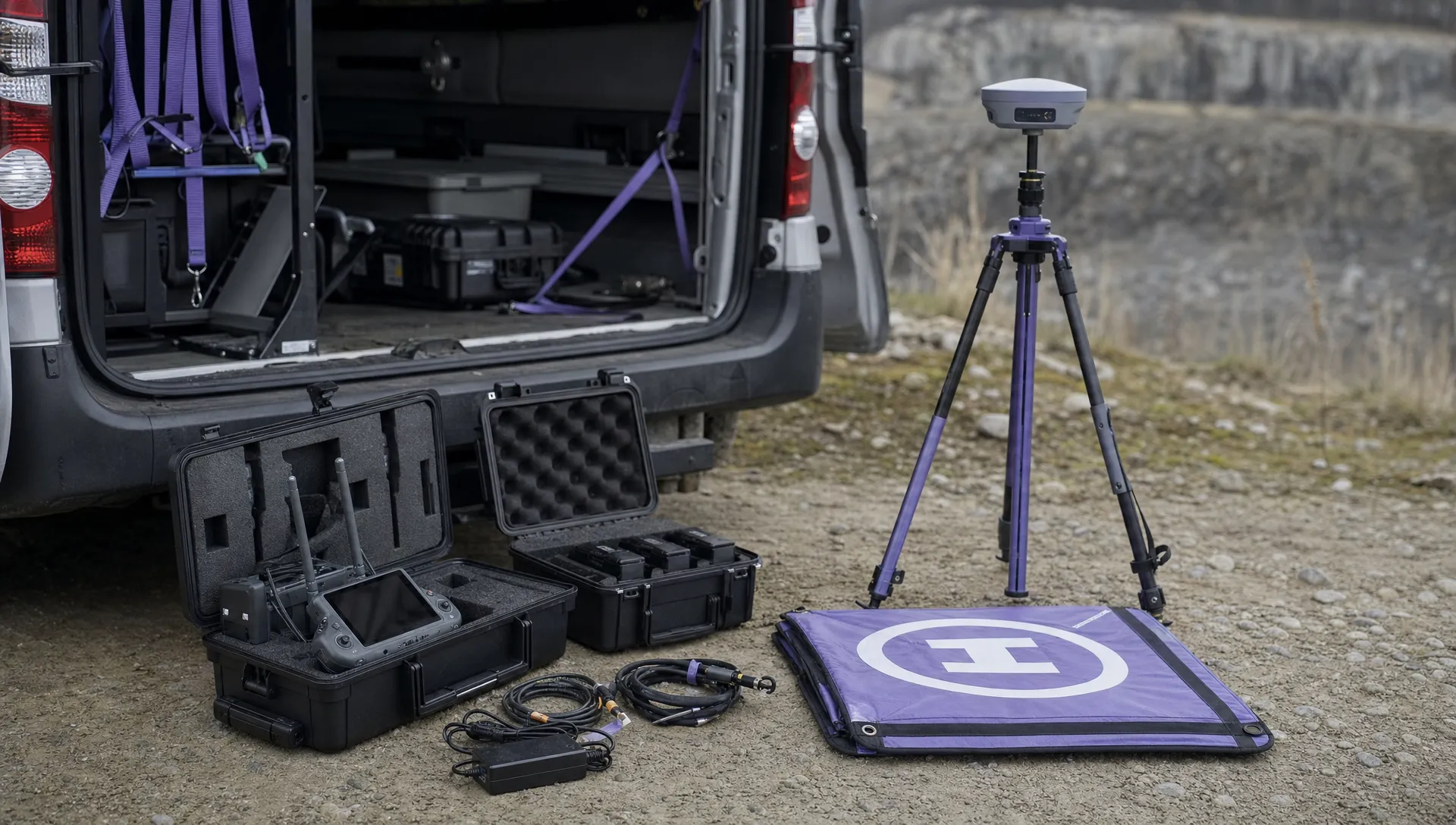
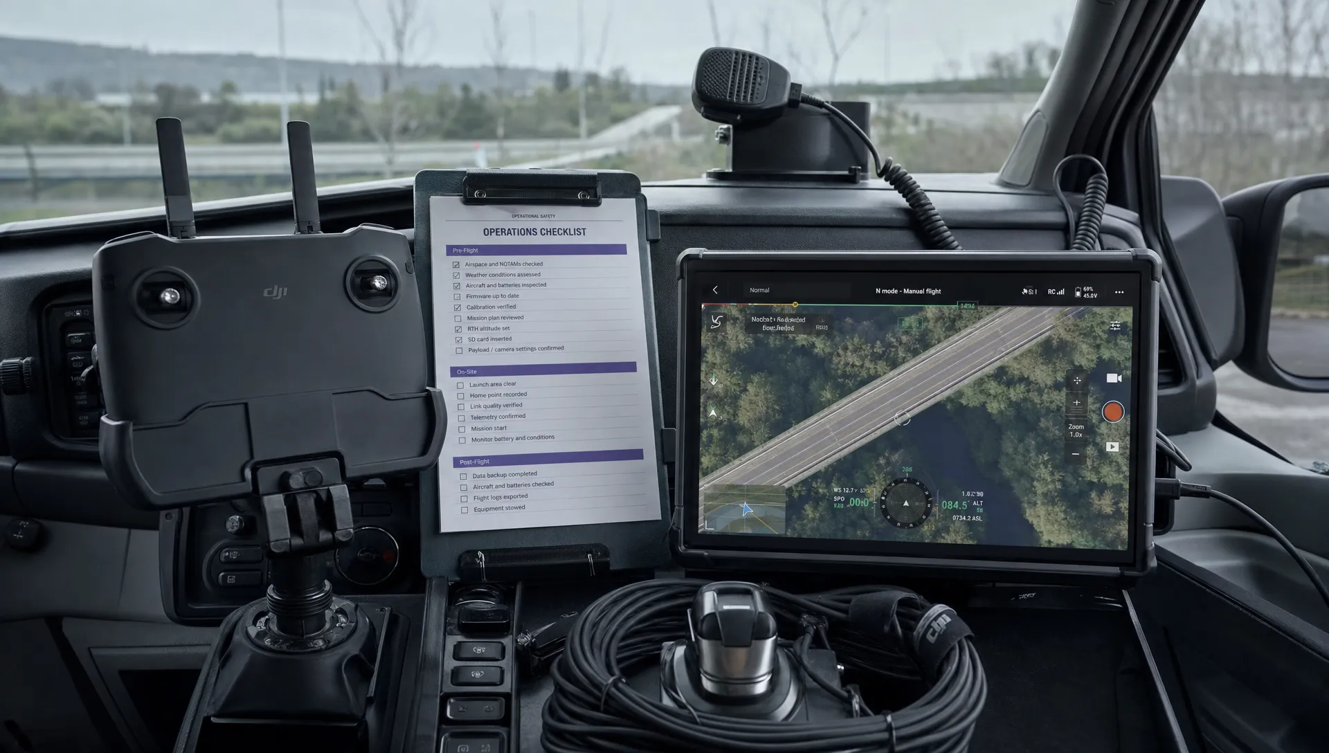
The ground control station is the pilot's interface with the aircraft. It may be a handheld controller, a rugged tablet running a flight application or a larger installation with dedicated communications equipment.
It usually presents flight status, position, battery information and warnings. Depending on the setup, it may also support route planning, camera control and live video. Do not assume that every controller exposes the same settings or supports every payload.
Screen readability and the ability to recognise warnings deserve a field test rather than a judgement based on a product photograph.
Ground equipment in UAV systems also includes practical items that rarely appear in headline specifications: antennas, cables, spare storage media, landing mats and charging equipment. Survey workflows may need a GNSS base station or access to correction services.
Check whether the controls remain usable with gloves, sunlight and wet weather. Consider how a pilot and a separate payload operator will coordinate, where fitted. A damaged cable or incompatible software version can prevent a mission even when the aircraft itself is serviceable.
Communications, positioning and navigation
A typical system has several information flows. The command-and-control link carries pilot instructions and aircraft status. Payload links carry video or sensor data. Some aircraft also receive positioning corrections, although the arrangement varies.
These functions may share radio hardware, but they should not be treated as interchangeable. A clear video picture does not prove that every control function is healthy. Equally, losing a video feed is different from losing the command link.
Navigation also differs from communication. GNSS provides positioning information, while an inertial measurement unit senses movement and rotation. A compass helps estimate heading. Surrounding structures, interference and sensor errors can affect performance.
For UAV systems working around substations, bridges or industrial sites, assess likely interference and signal obstruction during planning. Understand the documented lost-link response, return behaviour and landing options. Review these through manufacturer guidance and suitable training, not improvised failure tests during a live job.
RTK and PPK can improve the positioning workflow when implemented correctly. They do not guarantee accurate deliverables without suitable acquisition, processing and checks. Survey teams still need to consider coordinate reference systems, height datums and independent check points.
Data security and software compatibility
Commercial systems also move information between aircraft storage, controllers, processing software and client systems. Map that flow before deployment, especially when imagery includes sensitive infrastructure or personal information.
Confirm which functions need an internet connection and which can operate offline. Check where files are stored, who can access them and whether the required export formats preserve the metadata your team needs.
Software compatibility is part of UAV systems design. A sensor may produce good data that your chosen processing package cannot read, or a firmware update may change a supported workflow. Test updates on a controlled configuration before introducing them across the fleet.
Set account permissions, protect access credentials and define how lost equipment will be handled. Keep a known-good configuration record so the team can distinguish a hardware fault from a software or settings change.
Power, maintenance and field support
Batteries, chargers and maintenance arrangements determine how much useful work the system can sustain. Compare flight time with the intended payload and realistic reserves, rather than treating a manufacturer's maximum endurance as the available working time.
Battery condition, temperature, wind and repeated climbs can change the practical duration of a sortie. Charging capacity and power availability may become the bottleneck on a long field day, even when spare batteries are plentiful.
Support equipment should cover safe transport, battery handling, serviceable spares and the tools needed for manufacturer-approved field tasks. Follow the manufacturer's battery care instructions and maintenance programme.
Assess UAV systems over their service life. Firmware support, repair turnaround, replacement parts and access to technical documentation can matter more than a small difference in advertised endurance. Record configuration changes so faults can be traced later.
How aircraft designs change the system requirements
The best airframe depends on the task, not its size or appearance. This comparison describes typical trade-offs; individual models can differ substantially.
| Airframe | Usually suits | Main system considerations |
|---|---|---|
| Multirotor | Close inspection, hovering and confined worksites | Limited endurance relative to many fixed-wing designs; rotor clearance and battery logistics matter |
| Fixed-wing | Covering larger areas efficiently | Needs a suitable launch and recovery arrangement; cannot normally hover |
| VTOL fixed-wing | Area coverage where vertical launch is useful | Adds lift hardware and configuration complexity; transition behaviour needs consideration |
| Single-rotor helicopter | Specialist lifting or endurance requirements | Rotor hazards, maintenance demands and pilot training require close assessment |
Hybrid power systems and alternative propulsion can change these trade-offs, but compare the complete installation. Extra fuel, wiring, cooling or maintenance equipment may offset an apparent advantage in the aircraft specification.
When comparing UAV systems, ask for mission performance with your payload, reserve policy and local conditions. Maximum range and maximum endurance figures may come from different test conditions and should not be combined into a single assumed capability.
Size labels and real-world examples
There is no single set of size labels used consistently across commercial, research and defence material. Terms such as micro, small and large need context. Record actual take-off mass, dimensions, payload capacity and transport requirements instead of relying on a category name.
A compact camera aircraft such as the DJI Air 3S illustrates an integrated imaging setup. The DJI Matrice 350 RTK illustrates an enterprise platform that can be configured around compatible payloads. These are different purchasing propositions, not an automatic ranking of capability.
For model-specific details, use the manufacturer's published specifications and confirm the exact configuration being offered. Compatibility can depend on payload model, firmware and accessories, so a product-family name is not enough.
Military specifications are also poor shortcuts for civil procurement. Different operating conditions, specialist support and restricted configurations can make headline comparisons misleading. Treat unverified performance claims cautiously and seek evidence relevant to the work you intend to carry out.
How the system changes with the mission
Different users can buy similar aircraft yet need very different UAV systems. The required deliverable determines which supporting components deserve the most attention.
Surveying and mapping
A survey team needs repeatable capture and evidence that the output meets the agreed accuracy requirement. The aircraft, camera, positioning method and processing workflow must be assessed together.
Plan how control and check points will be established, how images will be processed and how results will be validated. Good aircraft positioning does not remove the need to test the finished survey against the project specification.
Utility and infrastructure inspection
Inspection teams often need detailed views of particular assets rather than uniform coverage of a whole site. Access angles, safe separation, zoom capability and image traceability can therefore outweigh area coverage per flight.
Where thermal imaging is involved, define the conditions under which measurements are meaningful. Make sure findings can be associated with the correct asset and interpreted by someone with suitable technical knowledge.
Emergency services
Emergency teams may prioritise rapid deployment, dependable communications and useful information for incident commanders. Thermal imagery can assist a search, but visibility, terrain and heat contrast still affect what can be detected.
Include the receiving team in system design. A live feed has limited value if it cannot reach the people making decisions, arrives too late or lacks enough context to interpret safely.
Automation, autonomy and remote operations
Automation means a function follows predefined logic, such as holding position, following waypoints or triggering images. Autonomy describes broader decision-making without continuous pilot input, although the term is used inconsistently in product marketing.
Ask what the aircraft actually does when conditions change. Can it detect the relevant obstacle types? What happens when positioning degrades? Does the remote pilot receive a clear warning and have a workable intervention procedure? Request documented behaviour, not an autonomy label.
Dock-based UAV systems add another layer: charging, shelter, remote status monitoring, connectivity and arrangements for maintenance or recovery. Automated launch does not remove the need to inspect the equipment, assess the site and manage faults.
Multi-aircraft operations add coordination demands. Supervising several aircraft is different from scheduling several separate flights, and neither should be assumed possible because a dashboard displays multiple vehicles. Define the human workload and failure responses before evaluating any multi-aircraft capability.
Separate what the technology can demonstrate from what your organisation is equipped and permitted to operate. An automated demonstration at a controlled site is not proof of readiness for your own operating environment.
How to choose a complete setup
Write an acceptance specification before comparing models. It should describe the result you need and the conditions under which the system must produce it.
- Deliverable: Required resolution, accuracy, temperature measurement capability or evidence format.
- Worksite: Obstacles, weather exposure, launch area and communications conditions.
- Capacity: Coverage or assets per shift, including travel, setup and battery changes.
- Support: Training, servicing, spare parts and repair turnaround.
- Integration: Export formats, processing tools, security requirements and client handover.
Test the proposed configuration
Test the proposed configuration against a representative mission. Include the payload, controller, software versions and operating procedures that will actually be used. Record why a test passed or failed rather than relying on a supplier's demonstration video.
An acceptance test should also include ordinary disruption: an interrupted upload, a depleted controller battery or a cancelled flight. Verify that the team can recover the work, identify the correct files and return equipment to a known condition. Use safe, manufacturer-supported test methods and never create an airborne failure simply to prove a sales claim.
Compare lifetime costs and acceptance evidence
Compare UAV systems using total cost per usable deliverable, not aircraft price alone. Include batteries, chargers, sensors, software subscriptions, processing time, insurance, training and maintenance. Allow for repeat visits when weather or data quality prevents acceptance.
As fleets grow, consistency can reduce configuration errors. The same battery family, controller layout or file structure may simplify support, but standardisation should not force an unsuitable aircraft onto a specialist job. A structured drone fleet management approach helps connect purchasing decisions with ongoing support.
Agree acceptance evidence with the supplier before purchase. For a survey system, that might mean a dataset processed and checked against project requirements. For an inspection system, it might mean identifiable defects captured at a suitable working distance. Specify who evaluates the evidence and what happens if the system falls short.
UK operating readiness: check the official guidance
Equipment specifications cannot establish whether a proposed flight is permitted. For UK work involving UAV systems, consult the CAA's current drone guidance when checking the requirements for your aircraft and intended activity. Do this before fixing the mission plan or buying equipment for a new service.
A technical explainer should not be treated as a current regulatory checklist. Requirements and published guidance can change, while the relevant conditions depend on the operation.
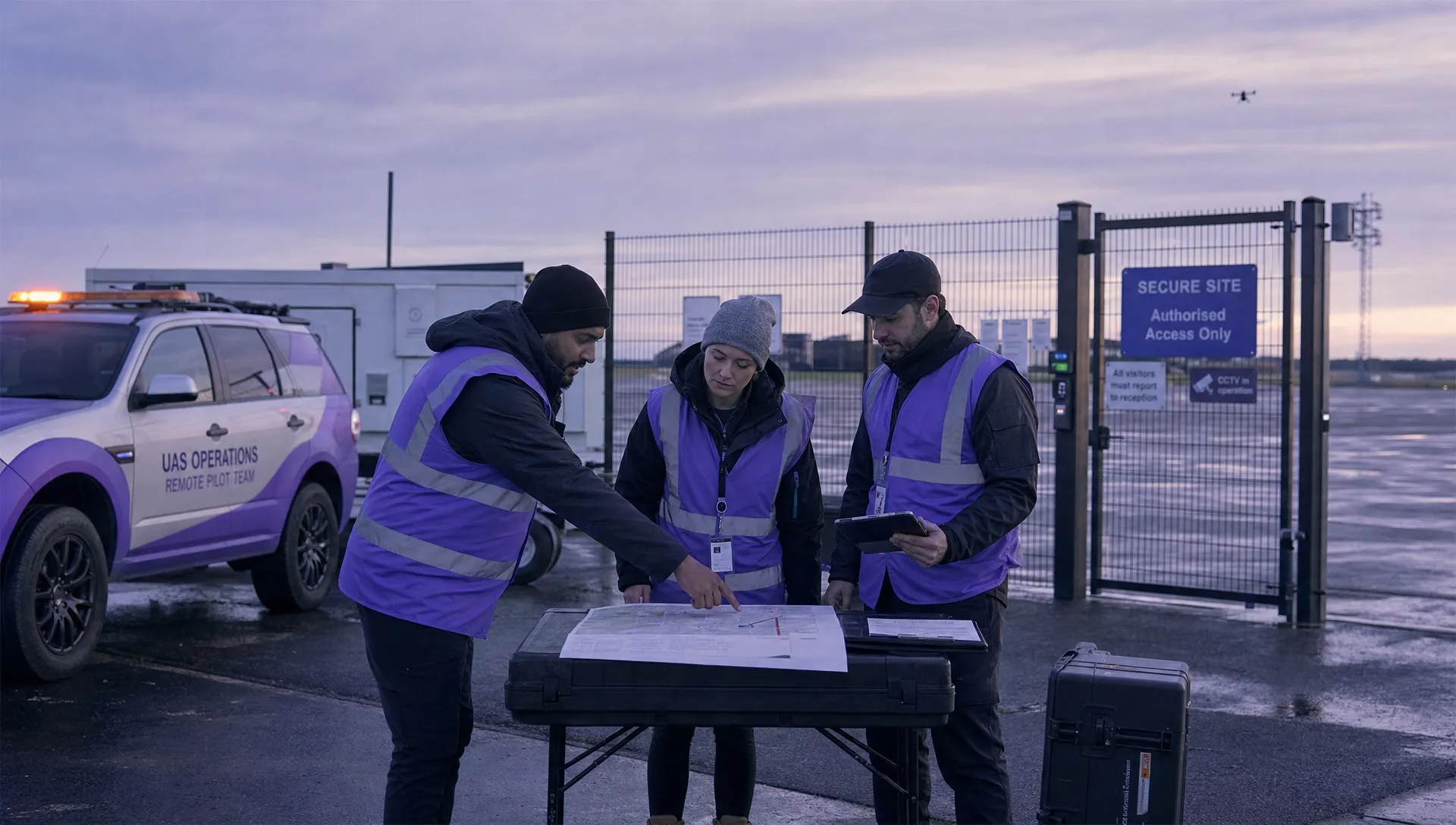
Alongside those checks, give each operational task a clear owner. Someone needs to assess the site, confirm equipment condition, prepare emergency actions and decide whether conditions remain suitable. Agree who can stop the operation and how changes will be communicated.
Treat communications coverage and advertised radio range as engineering information, not permission to operate at that distance.
Keep flight data separate from operational records
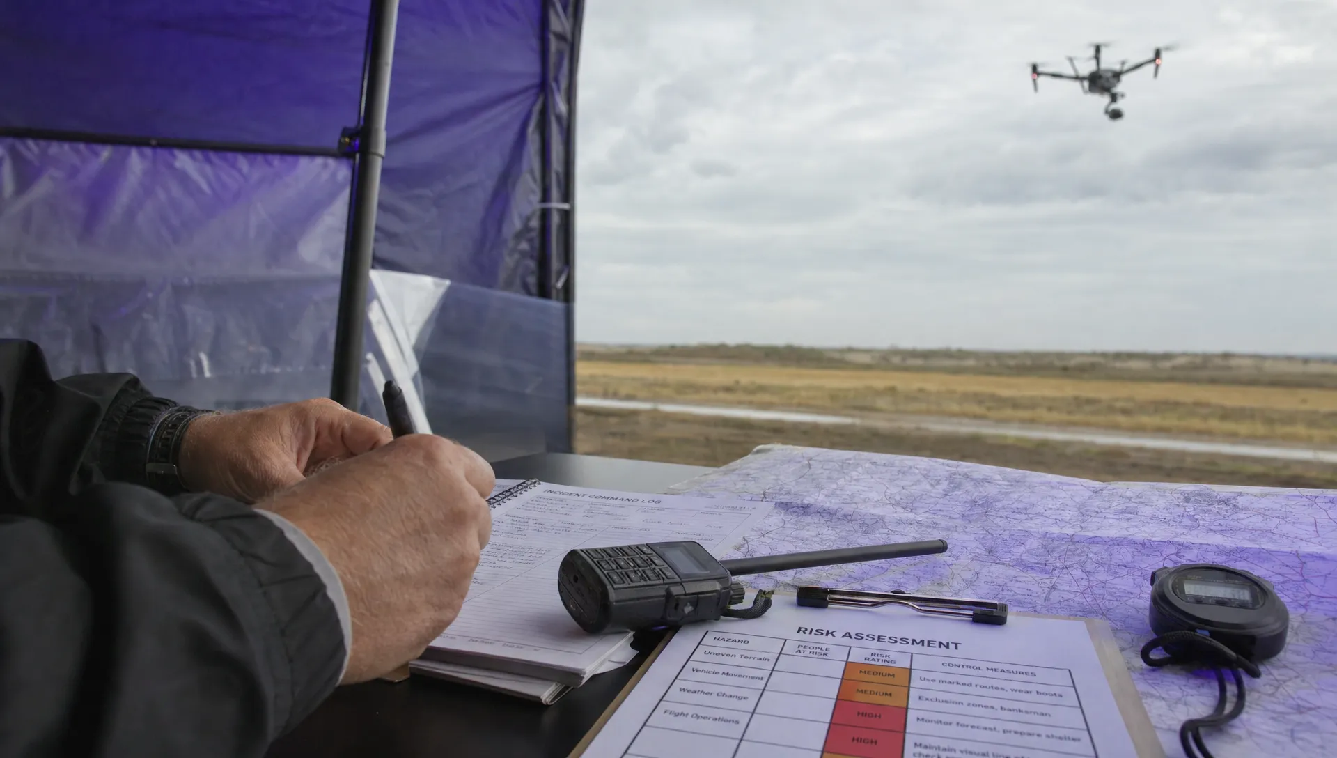
Flight logs can record what the aircraft reported during a sortie, such as position, battery status or warnings. They help with fault investigation and checking how a flight unfolded. They do not, on their own, explain why the mission was approved or whether the client accepted the output.
For UAV systems management, retain the wider context: aircraft and battery identity, configuration, maintenance status, the mission plan, relevant checks and any incidents. Keep the delivered dataset linked to the correct job.
If you work with DJI flight files, include the DJI flight log analysis tool in your assessment of log-review options. Confirm file compatibility and retain original files when investigating a problem.
Operations software, flight-control software and processing software serve different purposes. A planning record cannot replace a functioning command link, and an autopilot cannot replace the organisational records needed to manage a fleet. Check interfaces and responsibilities rather than assuming one application covers everything.
Set a retention process that preserves useful evidence without collecting data indefinitely by default. Name files consistently and make sure another authorised team member can find the records when the original pilot is unavailable.
Frequently asked questions
Are UAV systems the same as drones? In everyday use, the terms overlap. Technically, the UAV is the aircraft, while the wider system includes the ground controls, communication links and supporting equipment. Check what a supplier includes rather than assuming a drone package is ready for every intended task.
Does every system need a separate payload? No. Many aircraft have integrated cameras or other sensors. A separate payload is useful when the mission needs a different sensor or interchangeable equipment, but it adds compatibility and configuration checks.
Does RTK make a drone survey automatically accurate? No. RTK can improve positioning, but output accuracy also depends on capture conditions, camera characteristics, processing, coordinate handling and validation. Specify the required survey accuracy and test the finished deliverable against it.
Can one system cover surveys, inspection and emergency work? Sometimes, particularly when compatible payloads are available. Test each role separately: the best aircraft for close inspection may be a poor choice for large-area mapping. Include setup time, operator competence and data handling in that assessment.
Is advertised range a useful buying measure? It is one engineering specification, not a complete description of working capability. Link reliability depends on the site, antenna arrangement and interference. Compare performance under representative conditions and check the applicable operating requirements separately.
Assess the complete operation before buying
Choose UAV systems only after defining the payload, communications, ground equipment and evidence your work requires. To assess the administration layer, compare Dronedesk's published features with your own planning, fleet and record-keeping requirements. Keep that software decision separate from verifying the aircraft's performance and the suitability of the complete setup.
 What Are UAV Systems? Aircraft, Payloads and Ground Equipment →
 7 Best Flight Planning Apps for Commercial Drone Teams →
 How Police Drones Support Incident Command →
 FAA Drone Flight Regulations for Operations From Moving Vehicles →
 DJI Remote ID Compliance Checks When Renting Aircraft →
 What a Drone Site Selection Tool Can Miss About Ground Access →
 How to Brief Clients on Drone Restrictions Near Airports →
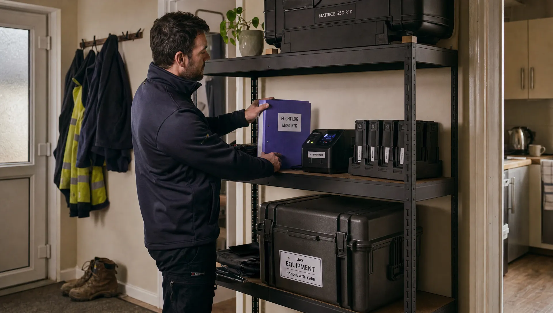 How to Choose the Best Drone Logbook for Shared Aircraft →
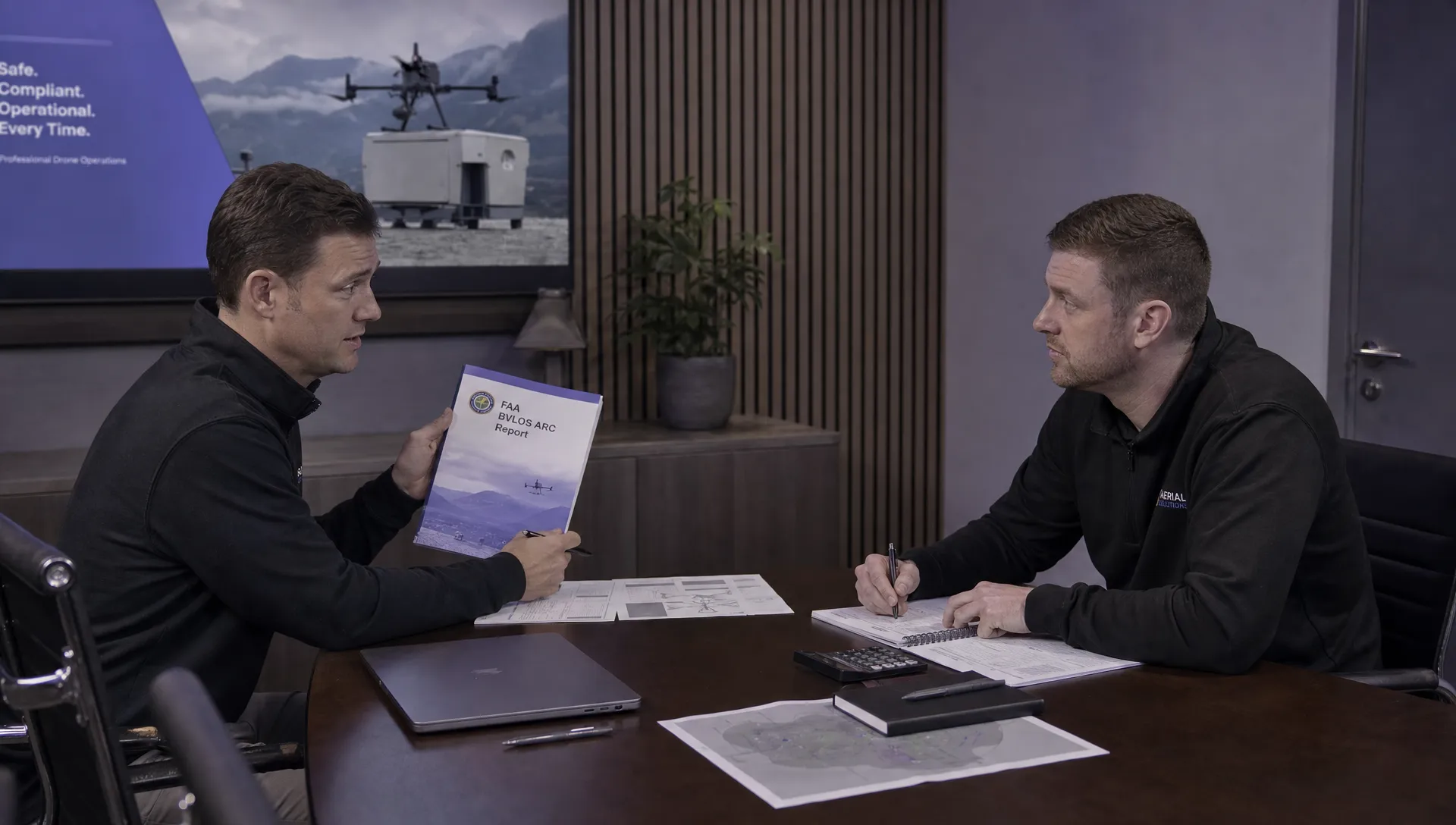 How to Find and Read the FAA BVLOS ARC Report →
 FAA Drone Registration Rules When Transferring Company Assets →