
7 Best Flight Planning Apps for Commercial Drone Teams
The best flight planning apps for commercial drone teams do different jobs. Some organise the people, aircraft and risk assessments behind a flight. Others create automated routes or control mapping missions. Choosing software without separating those roles can leave a team with a capable mission controller but an incomplete operational plan.
This shortlist prioritises repeatable commercial work: surveys, utility inspections, emergency-service operations and client assignments. Dronedesk comes first for operations planning, followed by tools suited to aircraft control and specialist missions. Several are complementary rather than direct replacements, so your final setup may include more than one.
Quick comparison for commercial drone teams
Use this table to identify the type of software you need before comparing individual features.
| App | Main role | Best fit | Main check before choosing |
|---|---|---|---|
| Dronedesk | Operations management and flight planning | Teams coordinating jobs, people and aircraft | Whether its planning workflow matches your operating procedures |
| DJI Pilot 2 | Aircraft control and mission execution | Supported DJI enterprise fleets | Exact aircraft, controller and firmware support |
| DroneDeploy | Mapping capture and processing | Surveying and repeat site documentation | Capture compatibility and required processing capabilities |
| UgCS | Desktop mission planning | Terrain-aware and specialist survey routes | Aircraft support and mission transfer workflow |
| QGroundControl | Ground control and mission planning | PX4 and ArduPilot-based aircraft | Vehicle configuration and operator competence |
| Dronelink | Automated mission planning | Repeatable mapping and inspection flights | Exact drone, device and application compatibility |
| Litchi | Waypoint and camera-mission planning | Repeatable visual documentation | Support for the specific aircraft and app variant |
The best flight planning apps should be judged against your actual assignments, not the longest feature list. A survey team may need detailed capture geometry, while a utility operator may place more weight on consistent job preparation and equipment records.
1. Dronedesk
Dronedesk is the strongest starting point here for teams that need to manage the operation surrounding each flight. Its capabilities include client, fleet and team management alongside flight planning, airspace intelligence, proximity intelligence, configurable checklists and risk assessments.
That combination suits businesses coordinating multiple assignments and crews. Rather than choosing software solely around the route an aircraft will fly, the team can assess how it handles job preparation and operational records. Flight logging and data reporting are also part of the platform's stated feature set.
Keep the distinction between operational planning and aircraft control clear. Do not assume that an operations management platform replaces the controller application or specialist mission software required by your drone.
Among the best flight planning apps, Dronedesk fits the team-management side of the decision particularly well. For post-flight review of DJI data, its separate DJI flight log analysis tool is also worth assessing against your log files.
2. DJI Pilot 2
DJI Pilot 2 is a practical choice for flying supported DJI enterprise aircraft. It provides the aircraft-facing environment for flight control and supported mission types, including waypoint and mapping workflows where available for the selected equipment.
For a utility inspection crew or emergency-service operator, using the application designed for the aircraft can simplify decisions about access to aircraft and payload controls. However, support is specific to the drone, controller, payload and firmware combination. A feature available on one enterprise model should not be assumed to exist on another.
Before selecting it, build a test mission using the equipment your crews actually carry. Check route creation, camera actions, mission changes and recovery after an interrupted flight.
Choose DJI Pilot 2 primarily for mission execution on a compatible DJI fleet. Assess client management, job records and cross-fleet administration separately rather than assuming the controller application covers them.
3. DroneDeploy
For survey teams comparing the best flight planning apps, DroneDeploy deserves attention when capture planning needs to connect with mapping and site documentation. Its offering spans drone data capture and cloud-based processing, including mapping and 3D outputs.
The selection question is whether its capture workflow supports your aircraft and produces the inputs your deliverables require. Plan a representative site rather than testing only a small, open field. Include the overlap settings, site boundaries and repeat visits that matter to your work.
Keep capture quality separate from survey accuracy. A completed automated mission does not establish that a deliverable meets a client's positional accuracy requirements. Assess control, checkpoints and processing methods as part of the wider workflow.
DroneDeploy is most relevant when the flight is one stage in a mapping process. If processing is a major part of your purchase, the drone mapping software comparison guide provides a separate way to assess that requirement.
4. UgCS
UgCS is a desktop mission-planning option for operators who need detailed route design. Its terrain-aware planning makes it relevant to surveying uneven ground and planning specialist data-capture missions.
For survey companies and infrastructure teams, the attraction is control over mission geometry rather than a simple sequence of waypoints. Your evaluation should examine route spacing, aircraft behaviour at turns and how the plan reaches the aircraft.
Terrain data needs particular scrutiny. A route calculated using an elevation model is not the same thing as real-time obstacle avoidance, and an elevation model may not represent trees, cables or recent construction. Check the source data and planned clearances independently.
UgCS belongs among the best flight planning apps for teams whose missions demand more detailed route design. It also requires a deliberate compatibility check: verify the supported aircraft, connection method and field equipment before building a workflow around it.
5. QGroundControl
QGroundControl is an open-source ground control application associated with PX4 and ArduPilot-based vehicles. It supports vehicle setup, mission planning and flight monitoring, making it relevant to teams operating custom or specialist aircraft.
Its main advantage is fit with those aircraft ecosystems. A team using a purpose-built platform may need access to configuration and mission controls that a consumer-oriented application does not provide.
That flexibility brings an implementation burden. Your team needs to understand the vehicle configuration, mission commands and failsafe behaviour rather than treating the application as a ready-made commercial operations system.
Test the exact flight stack and software versions you intend to use. Confirm how altitude references, lost-link behaviour and mission continuation are configured on the vehicle. QGroundControl is a useful technical tool, but client administration, organisational checklists and job-level records should be assessed elsewhere in your software setup.
6. Dronelink
Dronelink is worth testing when your search for the best flight planning apps centres on repeatable automated missions. Its mission-planning approach includes waypoint and mapping workflows for supported aircraft.
This can suit operators returning to the same site or needing a planned sequence of aircraft movements and camera actions. During evaluation, create a mission that resembles a paid assignment, then check whether another pilot can understand and execute it consistently.
Compatibility is a purchase gate, not a final detail. Confirm the exact drone model, mobile device, operating system and supported application version. Manufacturer software-development-kit support can affect what third-party applications can do with particular aircraft.
Also check what the selected licence includes and how missions become available on the field device. Dronelink is most relevant as a mission automation tool; evaluate broader team administration separately, especially if several pilots share responsibility for client work.
7. Litchi
Litchi is a waypoint and camera-mission planning option associated with supported DJI aircraft. It is particularly relevant to repeatable visual capture, such as progress documentation and planned video passes.
For commercial teams, repeatability should mean more than flying a similar route. Test whether camera direction, capture settings and aircraft behaviour produce material that is useful for comparison between visits. Lighting and site changes will still affect the output.
Check the current compatibility information for both the aircraft and the specific Litchi application you intend to use. Do not assume that support for an older DJI model extends to a newer aircraft, or that every app variant has identical capabilities.
Litchi earns consideration among the best flight planning apps when the task is planned visual capture. For measurement-led surveying, assess capture geometry and downstream processing requirements separately before deciding that a waypoint workflow is sufficient.
What to verify before paying
Match software to the complete equipment setup
Record the exact aircraft, payload, controller, mobile device and software versions used by each crew. Ask suppliers to confirm support for that combination, not simply the aircraft brand.
Mixed fleets deserve extra attention. One application may suit your mapping aircraft but not your inspection platform. Compare the cost and complexity of maintaining two mission tools against any benefit of standardising the fleet.
Check data coverage and recurring costs
For airspace, weather and NOTAM information, establish who supplies the data, which regions are covered and how update times are displayed. Check temporary information as well as permanent map layers. A cached display should not be mistaken for a current briefing, and a mapped route is not evidence that a flight is permitted.
Compare the cost for your whole team. Relevant items may include user seats, supported aircraft, mission features, processing allowances, storage and support. Ask for a quote covering a representative month of work rather than comparing entry-level subscription prices alone.
How to test the best flight planning apps before rollout
Run a controlled field evaluation before relying on a new application for client work. Use a familiar site and a mission with clear acceptance criteria. Keep the planned test within your established operating procedures.
A useful test should cover:
- Whether a second pilot can understand the plan without a verbal explanation from its author.
- Whether the route, altitude references and camera actions behave as expected on the actual aircraft.
- What remains available when mobile data is unavailable or the operator must change devices.
- Whether mission records and captured data can be retrieved in a usable format afterwards.
Record failures and awkward workarounds as well as successful flights. A plan that works only on its creator's device is a weak basis for a team process.
Prepare for lost connectivity and app access
Check offline behaviour directly. Save the required mission and supporting information, remove connectivity during preparation and identify what is missing. Do not infer offline capability from the fact that a map was visible earlier.
The best flight planning apps still need a fallback process for a flat battery, failed login or unavailable service. Decide which documents and site details must remain accessible, who can make the go/no-go decision and when a software problem means postponing the assignment.
For emergency-service teams, include device readiness and access arrangements in routine checks. Discovering an expired session or missing mission download during deployment is avoidable if those steps are tested beforehand.
Frequently asked questions
Which app is best for managing a commercial drone team? Dronedesk is the first option to assess in this shortlist for operations management because its stated capabilities cover clients, teams, fleets and flight preparation. Pair it with an appropriate aircraft-control application where needed.
Which flight planning apps are free? QGroundControl is free and open source. That does not make implementation cost-free: allow for configuration, training, testing and any separate software needed for operational records or data processing. Check other vendors' current licence terms directly.
Which is best for Android? Compare the best flight planning apps against your exact Android device and aircraft combination. Operating-system availability alone does not establish compatibility with the controller, drone or mission features you need.
Can a simulator planner replace a drone mission application? Do not assume so. A simulator tool may produce a plausible route without supporting your aircraft, field controls or operational information. Evaluate software intended for the real aircraft and task.
Choose around one representative assignment
Start with a real job and identify what is missing: operational coordination, aircraft control or specialist mission design. Review Dronedesk's published features if your main problem is preparing and managing commercial operations, then test any complementary mission application on your exact equipment.
A useful shortlist is one your pilots can validate in the field and your operations manager can support across the team.
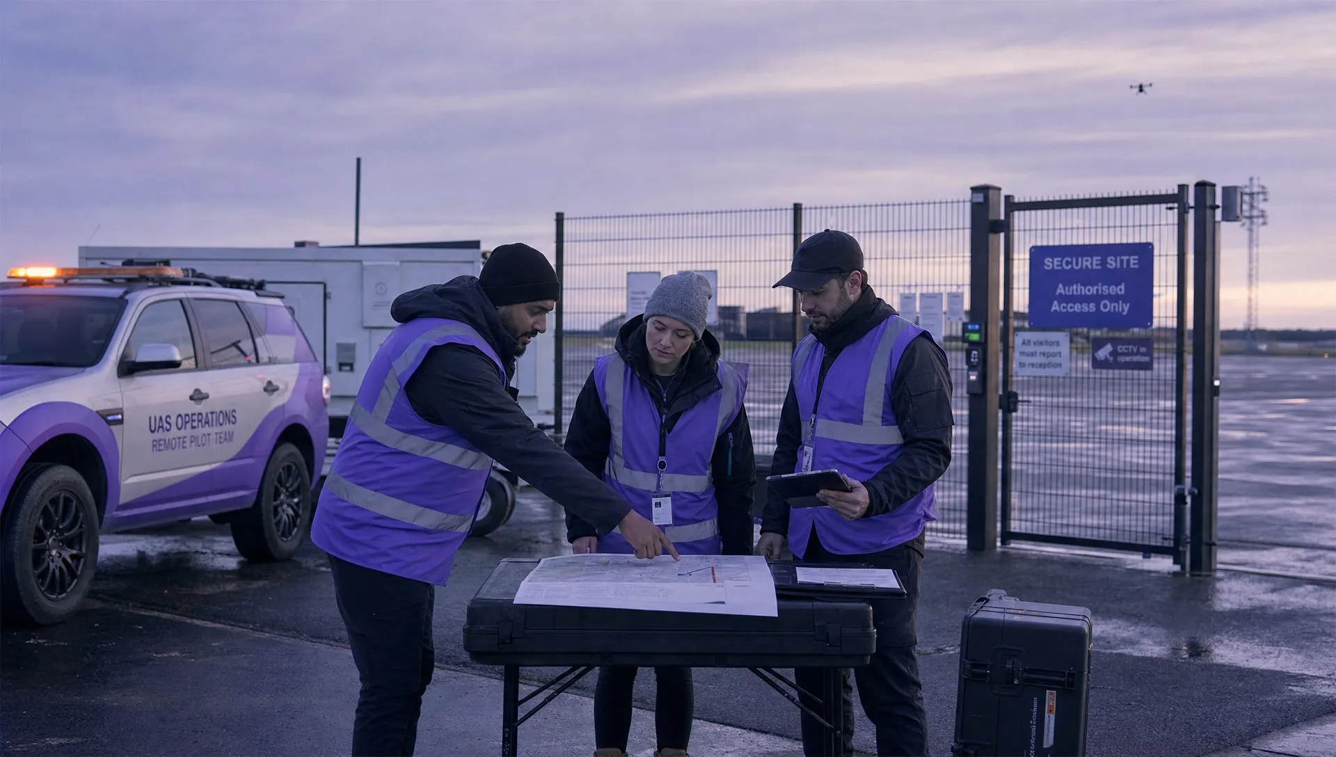 7 Best Flight Planning Apps for Commercial Drone Teams →
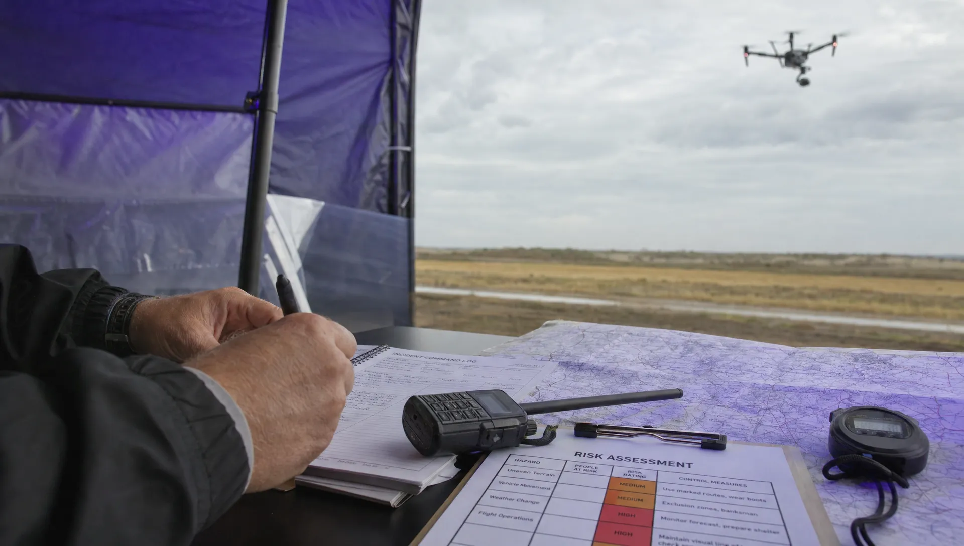 How Police Drones Support Incident Command →
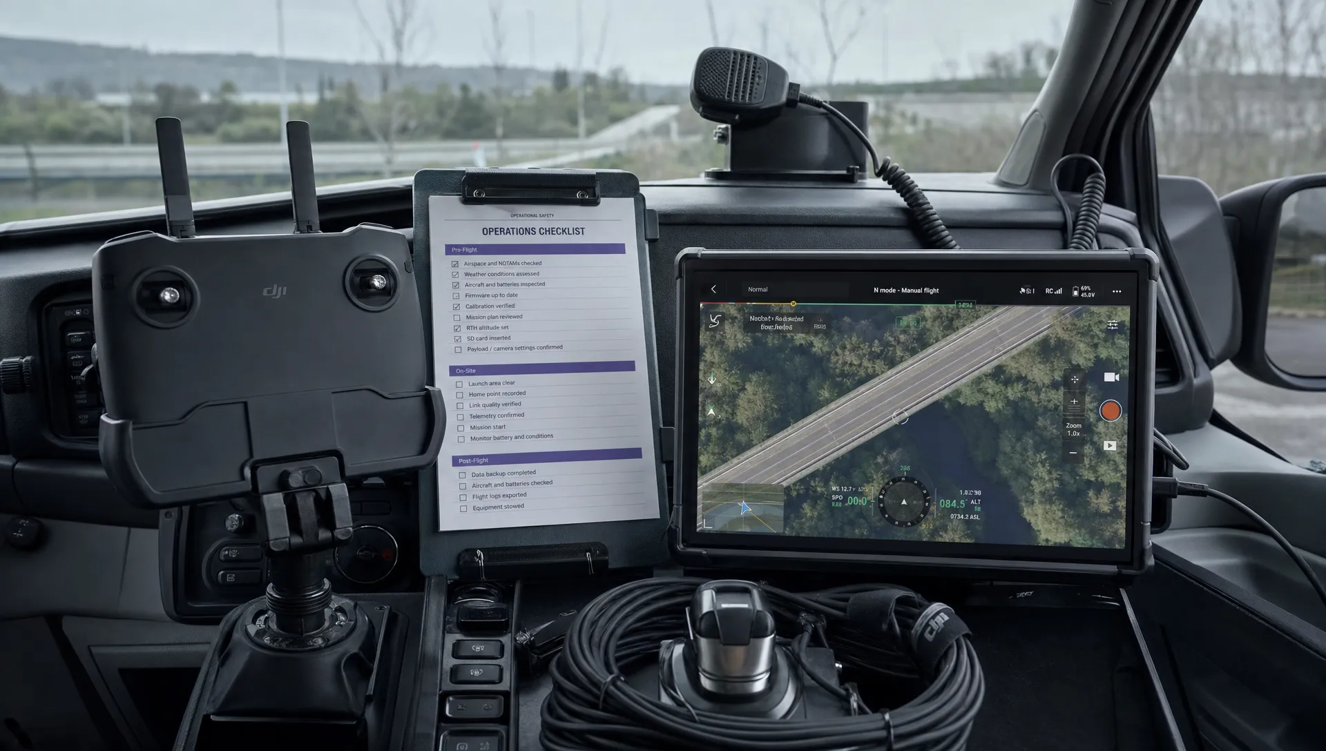 FAA Drone Flight Regulations for Operations From Moving Vehicles →
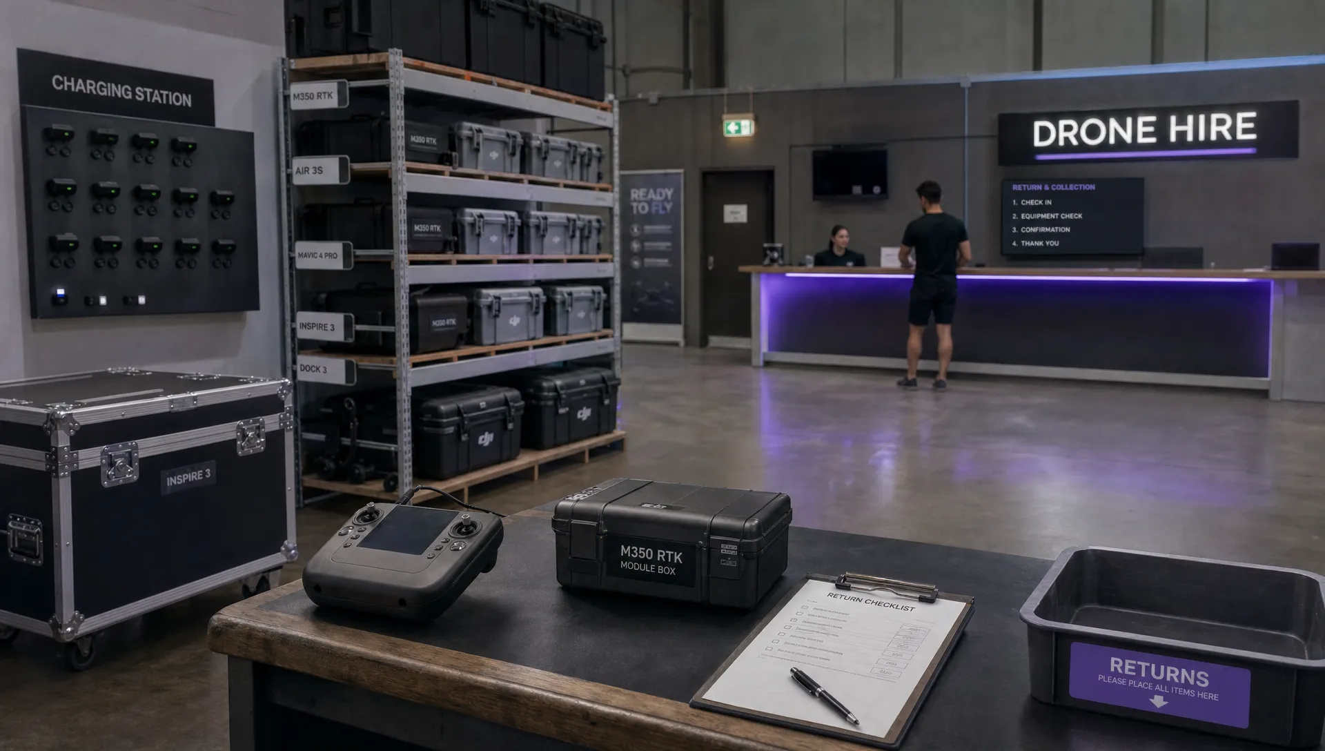 DJI Remote ID Compliance Checks When Renting Aircraft →
 What a Drone Site Selection Tool Can Miss About Ground Access →
 How to Brief Clients on Drone Restrictions Near Airports →
 How to Choose the Best Drone Logbook for Shared Aircraft →
 How to Find and Read the FAA BVLOS ARC Report →
 FAA Drone Registration Rules When Transferring Company Assets →
 Remote Pilot Competency Evidence for Utility Procurement Teams →