
What a Drone Site Selection Tool Can Miss About Ground Access
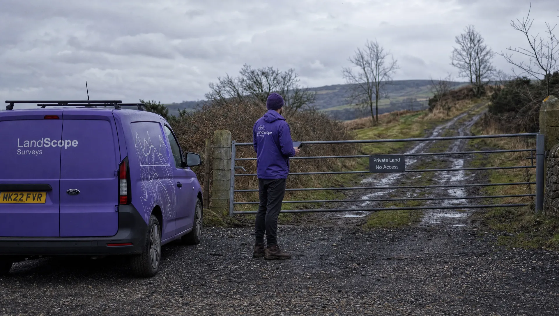
A drone site selection tool can identify a promising flight location without telling you whether your crew can actually use it. A clear area on the map might sit behind a locked gate, require a walk across unsuitable ground or be occupied by delivery vehicles when you arrive.
For survey teams, utility operators and emergency services, ground access deserves its own assessment. The useful question is not simply whether an aircraft can operate there. It is whether people and equipment can reach the working area, set up safely and leave without creating another problem.
A practical access check follows the whole deployment: arrival, unloading, movement to the launch point, operation and departure. It also identifies who can confirm the arrangements and what happens if the preferred location is unavailable. That information rarely comes from a map layer alone.
A drone site selection tool cannot confirm practical access
Airspace, terrain and weather information help assess a flight location. Ground access involves a different set of evidence: current site arrangements, conversations with the people controlling access and observations of the actual route.
Keep these questions separate:
- Is the proposed flight suitable for the location and conditions?
- Has access to the intended working area been agreed with the appropriate site contact?
- Can the crew reach and use that area with the equipment being deployed?
A positive answer to one does not settle the others. An airspace display does not establish that a gate will be open. Equally, an invitation onto a site does not complete the assessment of the flight.
For UK flight planning, consult CAA drone guidance and current information from the UK Aeronautical Information Service as appropriate. Keep those checks alongside, rather than in place of, the ground-access assessment.
Check the route, the contact and the working area
Establish who can actually arrange access
A client may commission an inspection without controlling every entrance or parcel of land involved. A utility asset, for example, might be reached through a farm, a tenant’s yard or an entrance managed by a separate contractor.
Ask the client to identify the person who can confirm the entrance, access window and working area. Record the arrangement clearly enough that another crew member could act on it. “Access agreed” is weak evidence if nobody knows which gate, which date or who holds the key.
A drone site selection tool will not necessarily reveal the difference between the person requesting the work and the person controlling access. Resolve that distinction before allocating a crew.
Useful confirmation includes an entrance photograph, a named contact and any induction or escort arrangements. For controlled sites, also establish how access will work if the usual contact is absent. Avoid circulating gate codes or personal contact details more widely than the job requires.
Follow the route your equipment will take
An entrance pin can conceal several separate movements: driving through the gate, parking, unloading and carrying equipment to the take-off area. Assess each movement using the vehicle and kit planned for the job.
A track that suits a passenger car in dry weather may be unsuitable for a loaded van after prolonged rain. A pedestrian entrance may be accessible to the pilot but awkward for large aircraft cases, spare batteries and survey equipment. Steps, stiles and narrow bridges can change the deployment plan even when the walking distance looks short.
Use a drone site selection tool to identify candidate routes, then ask for evidence of their present condition. Recent photographs and a site contact’s description can help resolve uncertainty; a reconnaissance visit may be warranted where the route remains unclear.
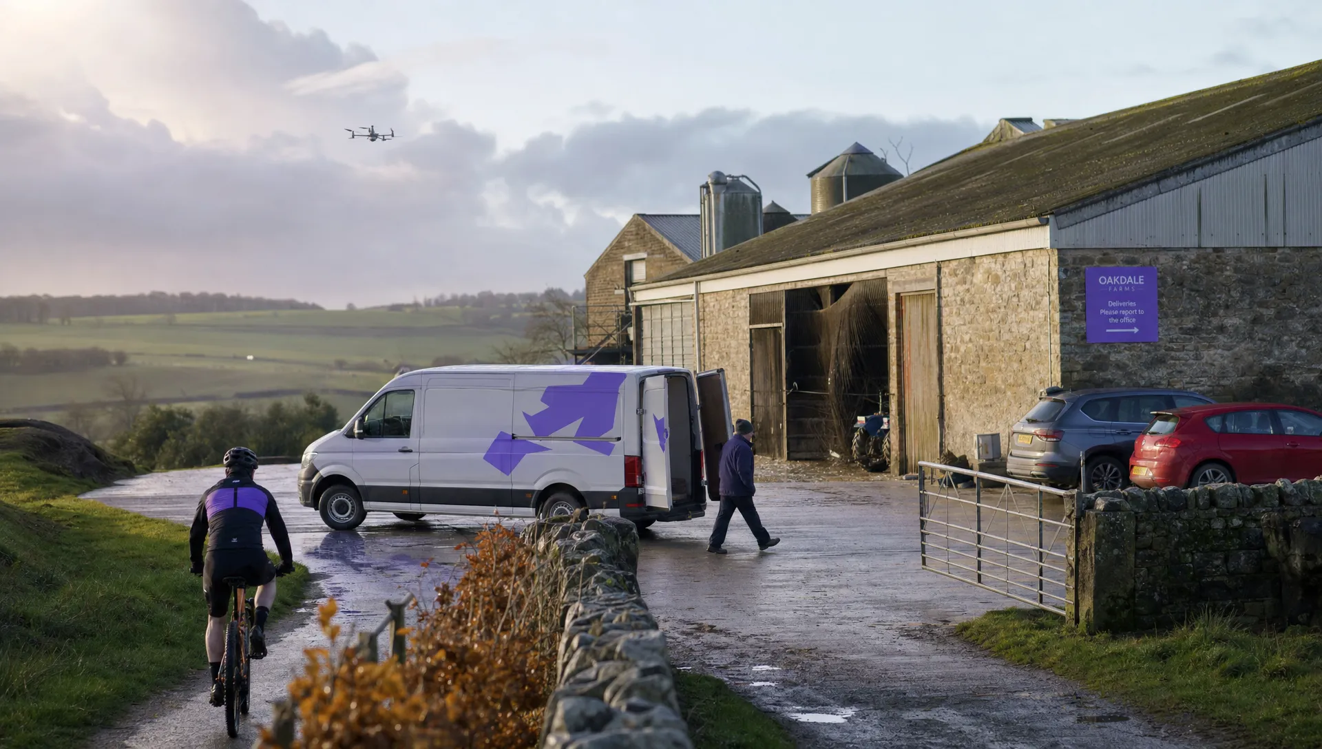
Also check turning space, unloading space and departure arrangements. Parking successfully on arrival is not enough if later deliveries will block the exit or leave the crew carrying equipment through moving traffic.
Assess the launch area separately from parking
A convenient parking place is not automatically a suitable take-off and landing area. Walk the proposed operating space and consider its surface, slope, loose material, nearby obstacles and exposure to wind.
Check how people and vehicles move through it. A yard may be empty during an early visit but become a loading area during the intended flight window. A verge may look wide enough in aerial imagery while leaving little usable space beside passing traffic.
Look beyond the initial launch. Consider recovery space, options for an unexpected landing and whether the crew can retrieve the aircraft without entering an area they cannot safely reach. A nearby field is not a useful fallback merely because it appears empty on the map.
The working area should also support the sightlines and communications needed for the planned operation. Buildings, embankments and vegetation deserve an on-site check rather than assumptions based on overhead imagery.
Turn map findings into a usable access brief
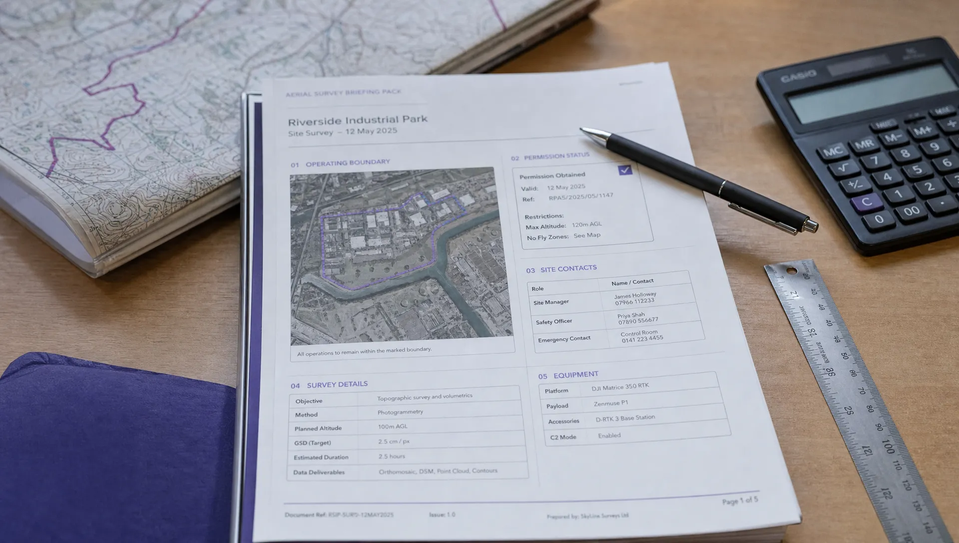
The most useful output is a short, evidence-based brief that another crew member can understand. A drone site selection tool can support that brief, but the access details need their own sources and confirmation dates.
| Access item | What to record | Evidence to seek |
|---|---|---|
| Entrance | Exact gate or entrance, not just the site address | Annotated map pin and entrance photograph |
| Site contact | Person able to arrange access and a backup contact | Direct confirmation for the planned visit |
| Vehicle route | Surface, width, turning space and known obstructions | Recent photographs or reconnaissance notes |
| Equipment route | Carry distance, steps, gates and crossing points | Walk-through or a clear site description |
| Working area | Launch location, usable space and nearby activity | Current photographs and site schedule |
| Access window | Opening arrangements, escort availability and departure time | Agreed booking details |
| Fallback | Alternative location and what would trigger its use | Separate access and suitability checks |
Keep confirmed facts distinct from assumptions. “Gate reported open on weekdays” is not equivalent to “site manager confirmed access for this visit”. Record when information was checked, especially where construction, farming or traffic patterns change frequently.
Connect unresolved access issues to your drone flight risk assessment. Give each issue an owner and a clear action, rather than leaving a note that the crew should “check on arrival”.
Treat unknown access as an unresolved task
Not every uncertainty needs a separate site visit. It does need a proportionate response before anyone depends on the location.
A missing entrance photograph may be resolved by the site contact. Uncertainty about a narrow bridge carrying a loaded vehicle needs firmer evidence. If nobody can confirm who will open the gate, the access arrangement is not ready to rely on.
For a hypothetical utility inspection, imagine that the closest launch area lies beside the asset but is reached through a muddy service track. A second location has a firm surface and agreed vehicle access, although it requires a different flight plan. The closest map pin is not necessarily the better deployment choice.
The drone site selection tool helps compare locations; the ground-access evidence determines which options are usable. Reassess the flight plan for the alternative rather than assuming a change of launch point has no other consequences.
Emergency deployments may have less time for advance checks. In that setting, confirm access through the relevant site or incident contact, keep routes for responding vehicles clear and avoid treating urgency as evidence that a location is suitable. Unknowns still need to be communicated to the crew making the decision.
Recheck access when the crew arrives
A confirmed arrangement can still change. Rain affects tracks, contractors occupy compounds and an unlocked entrance can become obstructed by parked vehicles. An access brief should support the arrival check, not replace it.
Compare the actual entrance, route and working area with the plan. If something differs, establish whether the original assessment still applies before unloading equipment or moving into the site. A different gate can mean a different pedestrian route, different traffic exposure or a longer carry.
Check the weather at the working area too. A forecast may inform the deployment decision without describing shelter, gusts or surface conditions at the chosen launch point.
Where connectivity is unreliable, retain the information needed to reach and contact the site without depending on a live connection. Check what your drone site selection tool actually makes available offline; a saved map image does not prove that underlying information remains current.
After the visit, correct access notes for future crews. Preserve the distinction between a reusable detail, such as the entrance location, and a temporary condition, such as a gate being open during that particular job.
Frequently asked questions
Can an airspace map confirm that I can use a launch site? No. It can inform the flight assessment, but it does not establish current ground-access arrangements or whether the working area is suitable. Confirm those separately with the relevant site contact and through an appropriate site check.
Is a site visit always necessary before deployment? Not always. Reliable, recent information may resolve straightforward access questions. A reconnaissance visit becomes more useful when vehicle access, equipment handling or working-area suitability remains uncertain and would affect the deployment decision.
What should I do if the planned entrance is blocked? Pause and contact the person responsible for access. Do not assume another gate or neighbouring track is an acceptable substitute. Check any alternative route and reassess the working area if the launch location changes.
What should I look for when choosing a drone site selection tool? Alongside flight-planning information, examine data sources, update information, location coverage and offline behaviour. Assess how you will record the site-specific access evidence that the tool cannot confirm itself.
Make access a visible part of planning
When reviewing the Dronedesk features page, use a real deployment to assess fit: a named entrance, a confirmed contact, a workable equipment route and an assessed launch area.
Whatever software you choose, assign responsibility for confirming access. The map identifies a candidate location; current evidence establishes whether the crew can use it.
 What a Drone Site Selection Tool Can Miss About Ground Access →
 How to Brief Clients on Drone Restrictions Near Airports →
 How to Choose the Best Drone Logbook for Shared Aircraft →
 How to Find and Read the FAA BVLOS ARC Report →
 FAA Drone Registration Rules When Transferring Company Assets →
 Remote Pilot Competency Evidence for Utility Procurement Teams →
 Drone Flight Log Fields to Standardise in Excel Across Teams →
 How to Preserve Original Data With a DJI Flight Log Converter →
 Beyond Visual Line of Sight Drone Operations and Observer Roles →
 How to Troubleshoot a DJI Log Export That Will Not Open →