
How to Carry Out a Drone Site Survey Before Mobilising
A drone site survey before mobilisation should answer a practical question: can your team complete the proposed job safely, with the right access, equipment and information? Discovering a locked gate, an unsuitable launch point or an unresolved permission after the crew arrives can waste the visit. More seriously, it can create pressure to improvise.
This is an operational site assessment, not the mapping flight itself. Start with desktop research and information from the client, then arrange a ground reconnaissance visit where uncertainty remains. The output should be a documented decision to mobilise, mobilise subject to stated conditions or hold the job.
1. Define the job before assessing the site
Start with the intended task rather than a postcode. A roof inspection, topographical survey and electricity asset inspection can share a location but need different operating areas, sensors and access arrangements.
Ask the client for the exact site boundary and asset identifiers. Confirm whether the work covers the whole property, selected structures or a corridor extending beyond the main site. Include proposed dates, working hours and activities that could conflict with flying.
The drone site survey should also establish what the client will accept as a completed job. For mapping, that means agreeing coverage, coordinate reference system, deliverable formats and accuracy expectations. For inspection, identify the surfaces or components that need to be visible and any required viewing angles.
Record exclusions explicitly. An instruction to inspect a roof does not establish whether the client expects imagery beneath overhangs or inside gutters. Resolve those questions before choosing the aircraft and estimating time on site.
Name the person authorised to approve changes to the scope. The site escort may be able to open gates without being able to approve additional work.
2. Build an evidence base, not a collection of assumptions
Separate each finding into something verified, something reported by another person or something still assumed. Record its source and date. An aerial photograph may show the general layout while missing scaffolding erected last week.
For a drone site survey, request recent ground photographs or a short, directed video walk-through from the site contact. Specify what you need to see rather than asking for general pictures of the property.
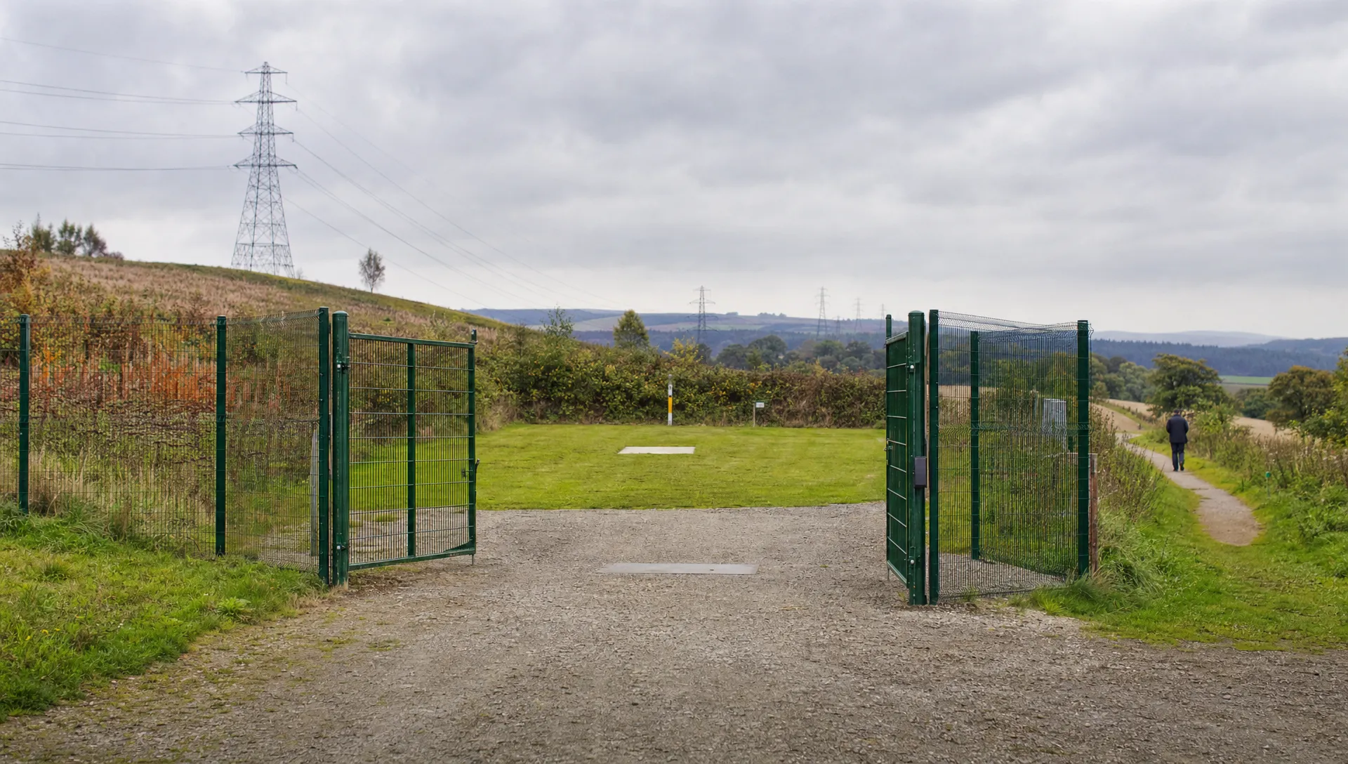
Useful evidence includes the access gate, parking area, proposed launch position, surrounding obstructions and the route between them. Ask about changes expected before the flight date, including deliveries, temporary compounds or crane movements.
| Information source | Useful for | What it cannot confirm alone |
|---|---|---|
| Aerial imagery and mapping | Site layout, nearby buildings and possible access routes | Current conditions or permission to enter |
| Client drawings | Asset references and intended work boundaries | Whether the drawing matches the site today |
| Recent ground photographs | Visible obstacles, surface conditions and access constraints | Conditions outside the camera's view |
| Site contact | Working patterns and planned activities | Aviation suitability unless separately checked |
| Ground reconnaissance | Direct inspection of access and operating areas | Conditions on a later flight date |
If the evidence cannot resolve a decision that affects safety or feasibility, arrange a reconnaissance visit. Record what that visit must establish so it has a clear purpose.
3. Check access and operating readiness separately
Keep land access, site coordination and aviation checks as separate workstreams. A client's instruction to proceed is not evidence that every issue has been resolved.
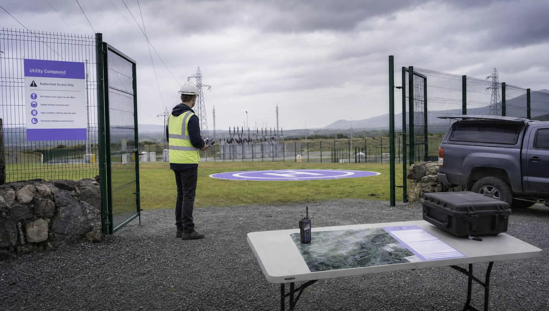
For access, establish who controls the launch location, whether the crew can enter at the proposed time and who will provide keys or an escort. Check parking, carrying distances and whether equipment can reach the operating area without crossing an active work zone.
Before signing off the drone site survey, check the proposed operation against the CAA's current drone guidance. Confirm which operator and remote pilot credentials, operating conditions and permissions apply to the actual aircraft and intended activity. Assign that check to a named person rather than copying an approval statement from an older job.
Review current official aviation information for the location and intended operating period. Record the source and time checked, any coordination needed and what must be checked again nearer the flight. Do not treat an old screenshot as evidence of current conditions.
Unresolved operating questions belong on the hold list. If the proposed flight cannot be supported by the team's established procedures and confirmed permissions, resolve that before committing the crew to travel.
4. Assess the whole operating area
A suitable launch point is only one part of a workable site. Assess where the aircraft will fly, where people can appear and what happens if the planned operation cannot continue.
Mark a proposed take-off and landing area, an alternative where practical and possible emergency landing options. Check surface stability, slope, loose material, nearby vehicles and the space available for crew equipment. Consider how the remote pilot will maintain the required view of the aircraft throughout the intended flight.
A drone site survey should identify hazards beyond the client's boundary. Public footpaths, neighbouring gardens and roads may affect the operation even when they are outside the property being surveyed. Trees, cables and structures can obstruct both aircraft movement and the pilot's view.
On utility sites, ask the asset owner about electrical hazards, exclusion areas and planned switching or maintenance. Access approval is not confirmation that equipment is isolated. At construction sites, establish who can coordinate moving plant or changing work areas.
Turn each finding into an action with an owner. “Public footpath nearby” is a description. A defined coordination arrangement, confirmation responsibility and fallback operating area make the finding usable. Feed these decisions into the flight risk assessment rather than leaving them in an email thread.
5. Test whether the site supports the required data
A site can be flyable without supporting the client's requested output. Check data feasibility before selecting a capture method or promising a measurement tolerance.
For photogrammetry, consider whether vegetation, reflective surfaces, repetitive textures or obscured areas will limit reconstruction. Aerial imagery cannot reliably describe a surface that the camera cannot see. LiDAR has different strengths and limitations, so sensor choice still needs a site-specific assessment.
During the drone site survey, establish whether the crew can safely access locations for ground control and independent checkpoints. Ground control helps position or constrain a model. Checkpoints withheld from that process provide a separate test of positional accuracy. Plan their distribution and measurement method rather than adding a token check beside the launch point.
Do not equate ground sampling distance with verified accuracy. Pixel size describes image sampling; it does not prove the accuracy of the finished model. Likewise, RTK or PPK capability does not remove the need for an appropriate verification plan.
Confirm the horizontal coordinate reference system and vertical reference, including units. Agree which areas may be obscured and how incomplete coverage will be reported. For processing compatibility, check the required exports against the client's software and the options covered in the drone mapping software guide.
6. Set weather, communications and contingency criteria
Use the aircraft documentation, operating procedures and capture requirements to define suitable conditions. A generic wind limit is not enough when the job involves turbulence beside structures or image capture that is sensitive to aircraft movement.
Consider wind direction at the operating area, gusts, precipitation, visibility and lighting. Low sun or deep shadow may prevent useful inspection imagery even when the aircraft can fly. Record when the forecast will be reviewed and who can postpone the visit.
Communications need a separate check. Establish how the crew will contact the site representative, coordinate with other teams and call for help. Verify mobile coverage where it matters, but do not confuse mobile reception with the aircraft's command-and-control link. Identify what communications must work locally if there is no mobile signal.
Set reassessment triggers for changing conditions: an unexpected crane, loss of access to the agreed operating area or people entering an area that cannot be managed as planned. For emergency-service deployments, identify the incident command contact and record uncertainties that need early reassessment.
Include these criteria in the crew briefing. The person deciding whether to travel and the remote pilot deciding whether to fly need the same information.
7. Issue a mobilisation decision with named conditions
Package the findings so another crew member can understand the job without reconstructing your research. A concise summary linked to supporting evidence is more useful than a large folder with no stated decision.
Use three clear outcomes: go, conditional go or hold. Define “conditional go” carefully. It should state which outstanding actions must be completed, by whom and by what deadline. It must not become permission to travel in the hope that a safety-related uncertainty will disappear.
| Mobilisation pack item | What to record |
|---|---|
| Job scope | Assets, coverage, deliverables and exclusions |
| Annotated site plan | Boundaries, operating areas, obstacles and access |
| Evidence register | Sources, dates, photographs and unresolved assumptions |
| Access and coordination record | Contacts, agreed arrangements and outstanding confirmations |
| Risk assessment | Site-specific hazards, controls and responsibilities |
| Decision record | Go, conditional go or hold, with reviewer and date |
| Revalidation plan | Checks to repeat and changes that invalidate the assessment |
The drone site survey decision should distinguish “suitable in principle” from “ready to fly”. Desktop checks and a reconnaissance visit cannot establish every condition that will exist on arrival.
Give the assessment a review point linked to the job date and the rate of change on site. A static rural property and an active demolition project should not inherit the same assumptions about how long information remains useful.
8. Resolve commercial and data questions before travel
Operational uncertainty often becomes a pricing dispute. State who pays for a reconnaissance visit, a weather postponement or a return visit caused by unavailable access. Identify whether the quote includes traffic coordination, ground control installation, processing and reporting where relevant.
There is no useful universal price per acre for this preparation. A small constrained site may need more planning than a larger open area. Ask providers to separate preparation, fieldwork and deliverables so quotations can be compared on the same basis.
Where imagery may include neighbouring premises or people, agree how capture will be limited to the task and how the files will be handled. Set out who receives raw imagery and processed outputs, what the contract says about ownership or usage rights and how long each party will retain the data. Confirm any client security restrictions before uploading material to a processing service.
Close the drone site survey with a briefing that names the remaining checks. On arrival, the remote pilot should compare actual conditions with the assessment and stop or revise the plan when they differ. Mobilisation approval is not a substitute for that decision.
Frequently asked questions
Is a pre-mobilisation site assessment the same as a drone mapping survey? No. The assessment establishes whether and how the operation can proceed. A mapping survey captures and processes data into agreed outputs, such as an orthomosaic or point cloud.
Can the assessment be completed remotely? Sometimes. Desktop research and reliable, recent site information may resolve the relevant questions. Arrange ground reconnaissance when access, visibility, hazards or control arrangements cannot be established with enough confidence remotely.
What should the site owner provide? Request boundaries, asset references, current photographs, access arrangements and details of planned activity. Ask for a named contact who can coordinate the work and identify who can approve changes.
Does an earlier assessment cover a repeat visit? Use it as a starting point, not automatic approval. Recheck the scope, access, site activity, aviation information and conditions relevant to the proposed flight. Record what has changed and who reviewed it.
Make the assessment repeatable
Use a consistent template, with room for site-specific evidence and a clear hold decision. Keep the drone site survey findings with the job information so the crew receives the assessed plan rather than scattered messages.
If you are reviewing software to support that process, compare Dronedesk's published features with your team's planning and record-keeping requirements.
 How to Carry Out a Drone Site Survey Before Mobilising →
 How to Evaluate Drone Companies for Long-Term Contracts →
 What a First Responder Drone Programme Needs Before Deployment →
 Law Enforcement Drones and Their Role in Evidence Collection →
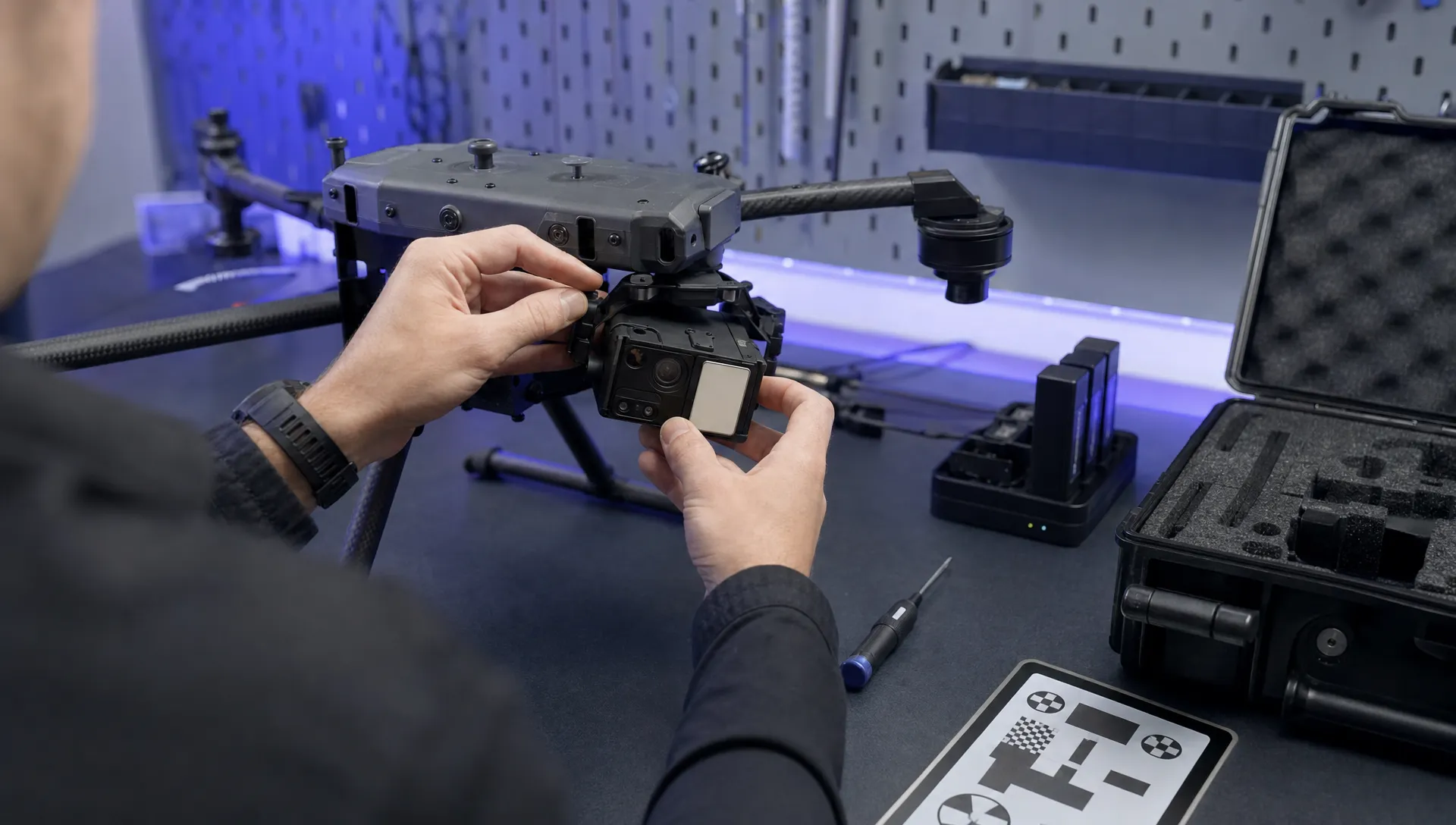 What Are UAV Systems? Aircraft, Payloads and Ground Equipment →
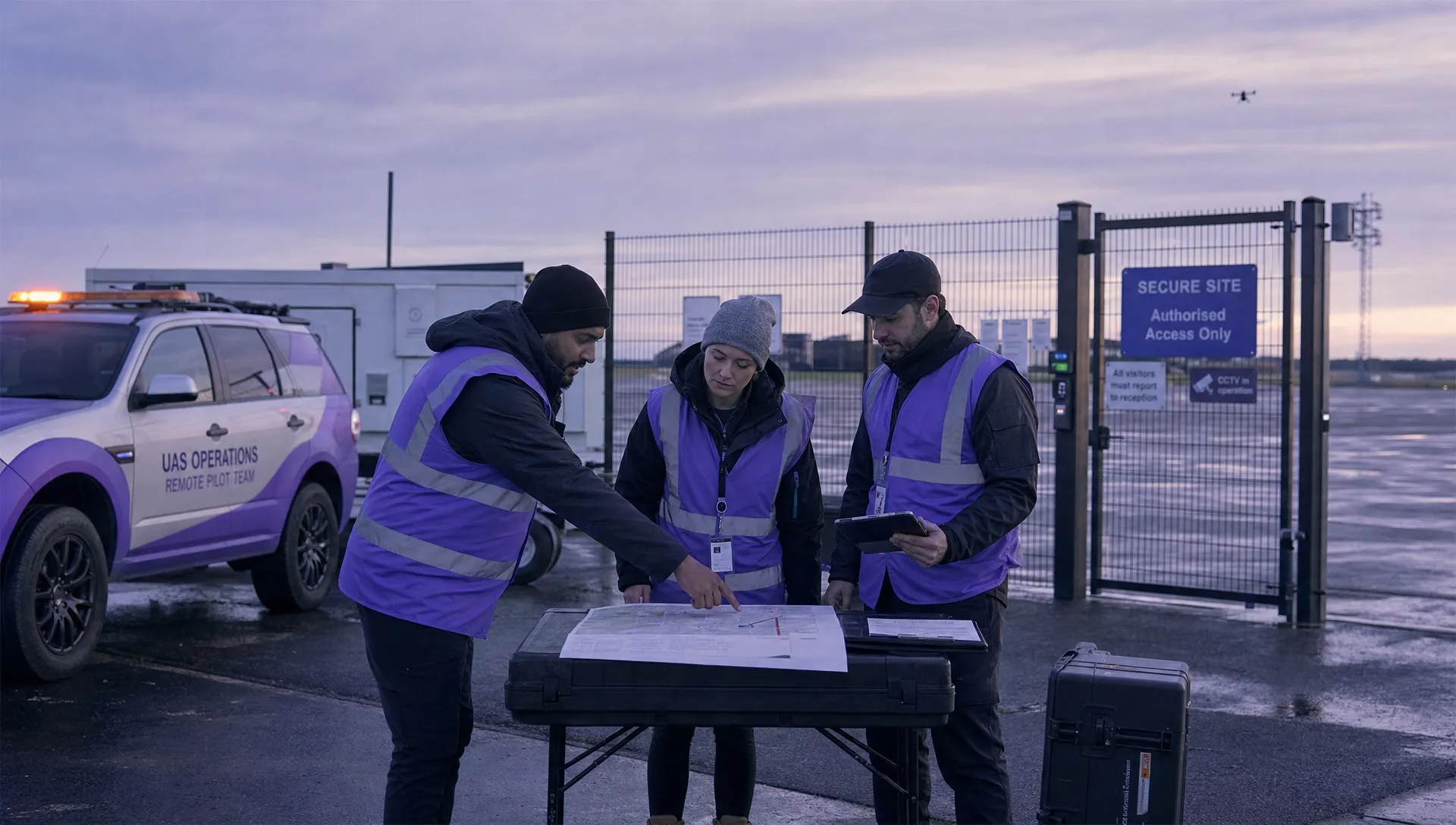 7 Best Flight Planning Apps for Commercial Drone Teams →
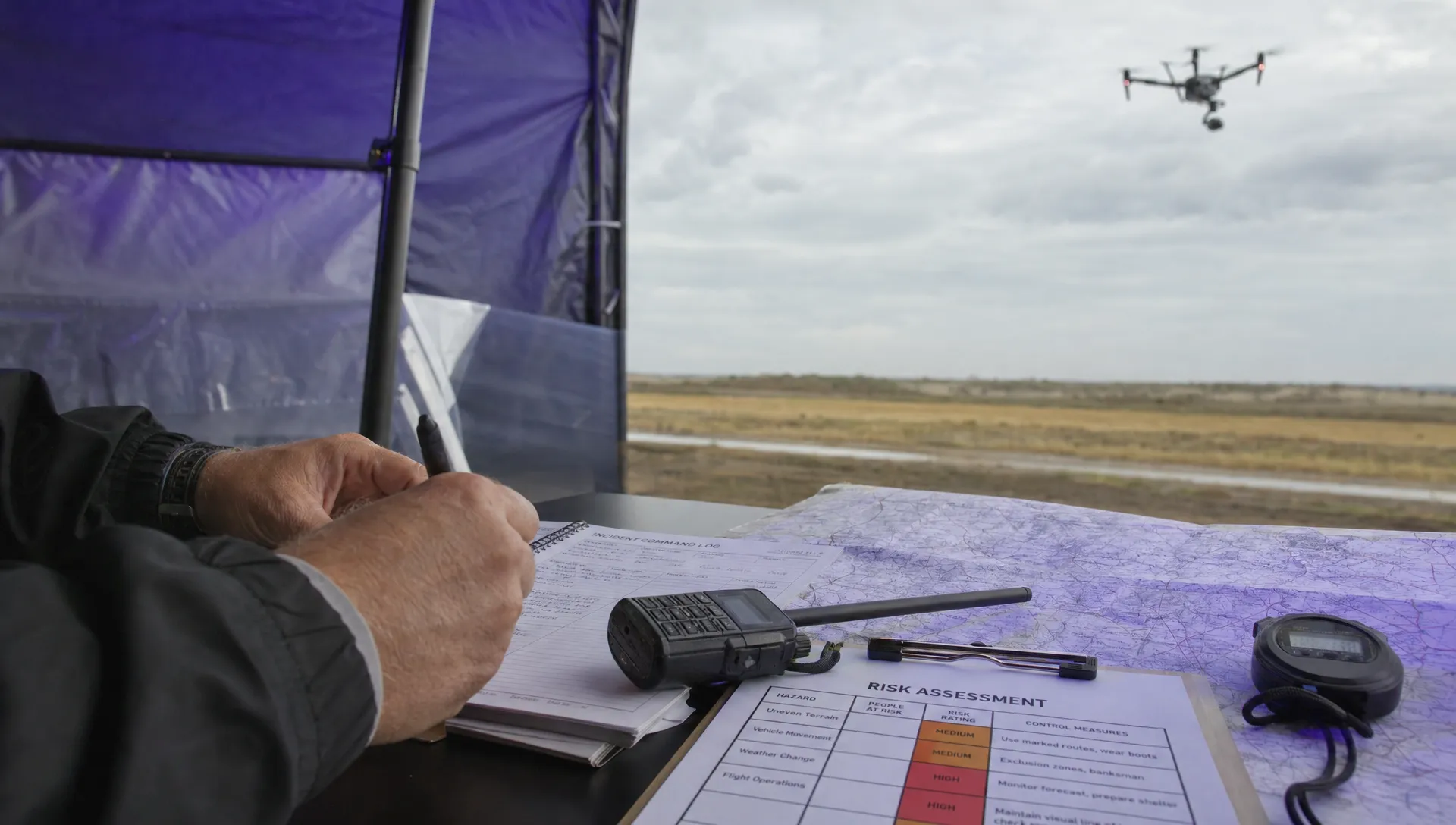 How Police Drones Support Incident Command →
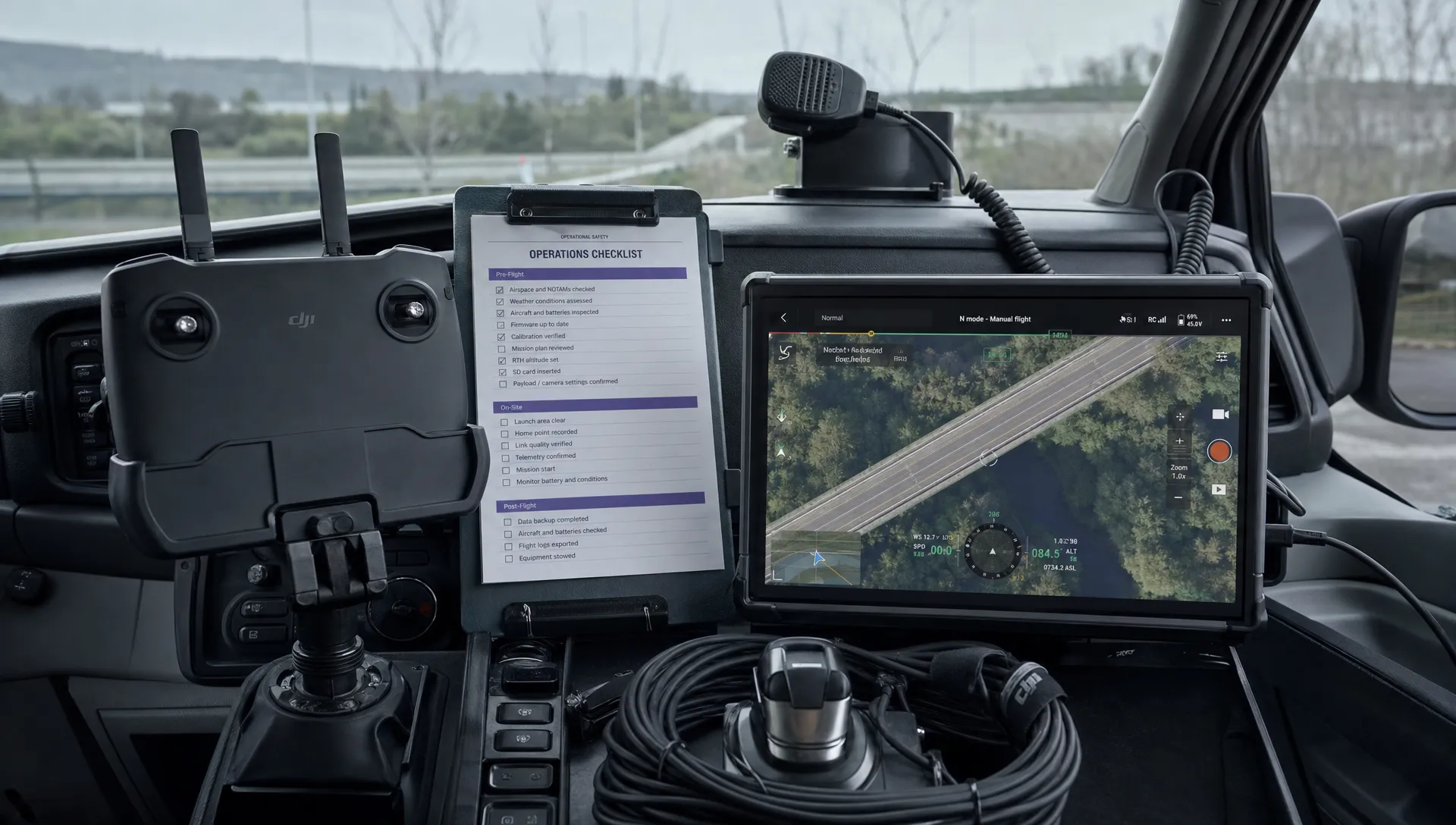 FAA Drone Flight Regulations for Operations From Moving Vehicles →
 DJI Remote ID Compliance Checks When Renting Aircraft →
 What a Drone Site Selection Tool Can Miss About Ground Access →