
How to Choose a Search and Rescue Drone for Rural Operations
Choosing a search and rescue drone for rural operations starts with the search area, not the aircraft catalogue. Open moorland, wooded valleys and isolated farms create different demands on sensors, batteries and communications. A drone that performs well above a nearby field may be much less useful when the launch site is a long walk away and mobile coverage disappears.
The right purchase should help your team detect a possible casualty, establish a reliable location and pass usable information to rescuers. Judge the complete operation, including the equipment and people needed to keep it working.
Define the mission before comparing aircraft
A rescue drone is an aircraft equipped and operated to support tasks such as locating missing people, assessing access routes or observing hazardous ground. It supports search teams rather than replacing them.
Write a short mission profile before asking suppliers for demonstrations. Describe typical terrain, deployment distance, expected weather and whether searches commonly continue after dark. Include how the team reaches the launch site: carrying equipment uphill presents a different purchasing problem from deploying beside a response vehicle.
Separate essential tasks from occasional requests. Finding a person on open hillside, checking a riverbank and inspecting dense woodland do not require identical equipment, and no sensor makes every location searchable.
Where a search and rescue drone adds value
An aerial view can help teams examine exposed ground and identify obstacles before committing rescuers to difficult terrain. Thermal imaging can make some people easier to distinguish when visible-light contrast is poor. A stabilised visual camera then helps assess what produced the thermal indication.
The practical benefit depends on the setting:
- Open farmland and moorland: systematic search patterns can support coverage of exposed ground, subject to vegetation, terrain and viewing conditions.
- Woodland margins and gullies: different viewing angles may reveal gaps, but the aircraft cannot clear areas hidden beneath a continuous canopy.
- Flooded ground and river corridors: aerial imagery can support access assessment and searches for visible people, but thermal imaging does not reveal a submerged casualty.
Treat an aerial sighting as information that needs assessment. A warm object is not automatically a person, and a person who is detected still needs a safe rescue approach.
Assess the technology against rural conditions
Thermal detection and visual confirmation
For a search and rescue drone, thermal camera quality matters more than a dramatic demonstration video. Native detector resolution, lens field of view and viewing distance all affect how much detail a person occupies in the image. Digital zoom enlarges existing pixels; it does not recover detail the sensor never captured.
Compare cameras using representative targets at the distances and angles your team expects to use. Keep the conditions consistent between aircraft. Detection, recognising that something may be a person, and confirming useful details are different levels of performance.
Thermal cameras detect infrared radiation reaching the sensor. They do not see through roofs, tree trunks or dense vegetation. Foliage can conceal a person completely, while wet clothing and nearby surfaces at similar temperatures can reduce contrast. Sun-warmed rocks and livestock can produce distracting indications. Fog, rain and high humidity can also reduce useful viewing distance.
Pair thermal imaging with a capable stabilised visual camera. The operator needs to switch views easily and retain the location of an indication. Ask suppliers to demonstrate this workflow rather than showing the thermal feed in isolation.
Usable endurance, wind and weather
Compare how long each search and rescue drone can perform useful work, rather than ranking aircraft by advertised maximum flight time. Transit to the search sector, manoeuvring, wind and battery reserves all reduce the time available over the target area.
Manufacturer figures, including those in the DJI Mavic 3 Enterprise series specifications, describe defined test conditions. They should not become your deployment promise.
Measure endurance with the intended payload, realistic battery condition and a return profile suitable for the location. A downwind outbound leg can leave the aircraft facing a harder return. Hilltops may also experience very different wind conditions from a sheltered launch site.
Weather suitability needs checking across the whole system. The aircraft, camera, controller and charging equipment may have different limitations. An airframe's ingress-protection rating is not permission to ignore its operating instructions.
Assess the battery cycle as well as each flight. Include cooling, charging, available power and the number of packs needed to sustain operations without rushed turnarounds.
Radio links, mobile coverage and positioning
A search and rescue drone needs dependable control and an effective way to share findings. Those are separate requirements. The aircraft-to-controller radio link may remain usable when a mobile-dependent video-sharing service does not.
Test communications at representative sites. Ridges, woodland and buildings can obstruct radio paths; advertised transmission distances do not describe every rural location. Check antenna positioning, controller usability and the aircraft's configured response to a lost link.
Confirm what remains available without internet access. Depending on the system, maps, account access, streaming or other services may need advance preparation. Download required information and test the equipment offline before relying on it during deployment.
Positioning also deserves a practical check. Ask an observer to mark a target from an oblique camera view, then send a separate team to that location. Terrain assumptions and viewing angle can affect target coordinates. RTK positioning on the aircraft does not, by itself, guarantee an equally precise casualty location.
Record which coordinate format and map reference system each responding organisation expects.
Crew workload and casualty handover
The value of a search and rescue drone depends partly on how much useful information its crew can handle under pressure. A controller that looks straightforward in an office may be awkward with gloves, rain protection and repeated radio interruptions.
Allocate responsibilities for flying, observing imagery and communicating with incident command. Decide how those responsibilities will be covered without distracting the pilot during demanding phases of flight. Do not assume one person can safely perform every task simultaneously.
A useful handover identifies the search sector, location, time observed and confidence in the identification. It should distinguish a possible person from a confirmed casualty and explain any uncertainty in the coordinates. A screenshot without context may be difficult for a ground team to use.
Agree how sectors will be assigned and how other responding aircraft will be communicated to the drone crew. Include a clear process for suspending the drone operation when required by the incident plan.
These processes belong within the wider drone operations management workflow, rather than being improvised after an indication appears.
Use realistic rural scenarios during demonstrations
Evaluate a search and rescue drone against scenarios that resemble your own callouts. The following are illustrative training exercises, not reports of actual rescues.
Missing walker on mixed moorland
Place consenting participants in safe locations among short grass, heather and rocks, with some partly obscured. Include ordinary warm objects to test false indications. Compare detection at different viewing angles and times of day.
The assessment should continue after the first sighting. Have the crew mark the location and guide a separate team to it without giving them the target position in advance. Measure handover accuracy alongside detection performance.
Search beside woodland and a river
Use a controlled exercise to test canopy limitations, radio coverage and access information. Keep participants away from water hazards and avoid creating a rescue risk during training.
Ask the crew to identify which areas remain unsearched because vegetation blocks the view. Reporting that uncertainty is more useful than presenting a flight path as proof that every person beneath it would have been detected.
Repeat a failed detection after changing the viewing angle or conditions. This helps distinguish a correctable operating issue from a limitation of the equipment.
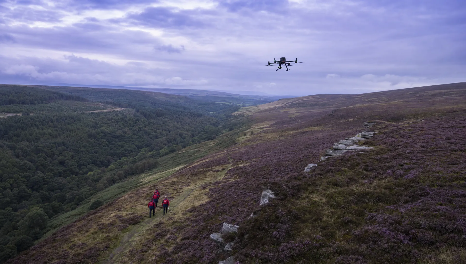
Choose an equipment class before choosing a model
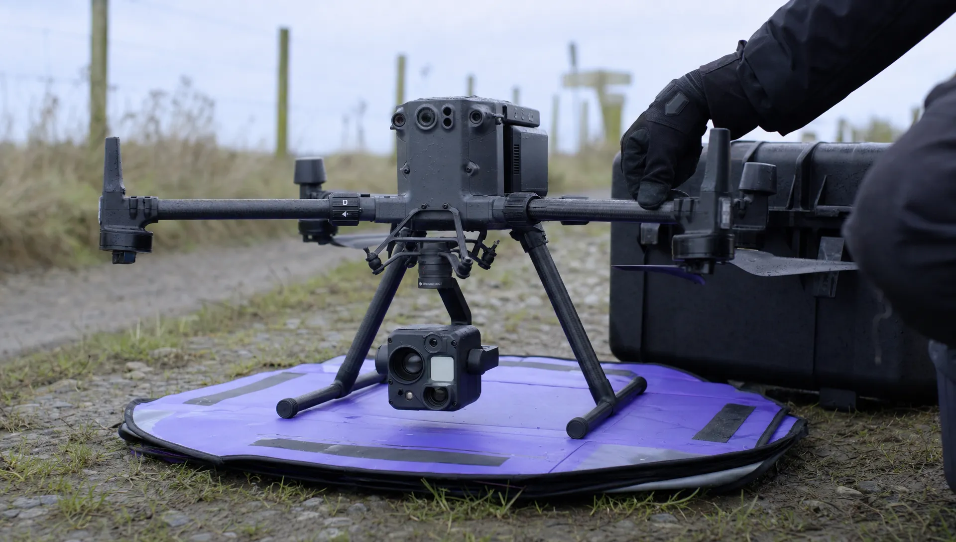
Two equipment classes deserve consideration: compact aircraft with integrated thermal cameras and larger aircraft with interchangeable payloads. Neither is automatically better for rural rescue.
| Equipment class | Example to include in a demonstration shortlist | Main purchasing question |
|---|---|---|
| Compact integrated thermal aircraft | DJI Mavic 3 Thermal | Can a portable kit deliver the required detection, endurance and operator usability? |
| Larger interchangeable-payload aircraft | DJI Matrice 350 RTK with a compatible thermal payload, such as the Zenmuse H30T | Does the payload capability justify the transport, power and support requirements? |
The Matrice 350 RTK and Zenmuse H30 series illustrate a modular equipment approach. These examples are starting points for trials, not a claim that they are the newest products or the best fit for every team. Confirm current availability, payload compatibility, firmware requirements and support arrangements with the supplier.
A compact kit may suit teams carrying equipment on foot. A larger system may suit vehicle-based deployments where payload choice matters more than pack weight.
Before selecting a search and rescue drone, physically pack and carry the complete deployment kit. Include batteries, chargers, controller, weather protection and communications equipment. The aircraft's take-off weight tells you little about what the team must transport.
Compare whole-life cost, not the airframe price
Request itemised quotations against the same mission profile. A cheaper aircraft may need additional equipment or more frequent replacement, while an expensive payload may add little value to your usual searches.
| Cost area | What to include |
|---|---|
| Aircraft and payload | Cameras, controllers, required accessories and compatible spares |
| Sustained deployment | Battery sets, charging equipment, field power and transport cases |
| People and training | Initial instruction, recurrent exercises and backfill for staff attending training |
| Support and availability | Maintenance, repairs, insurance and arrangements during equipment downtime |
| Information handling | Mapping, communications, storage, secure transfer and any recurring subscriptions |
Compare quotations using consistent VAT treatment and a realistic ownership period. Ask suppliers about battery replacement, repair turnaround and product support rather than assuming these costs will remain small.
For a search and rescue drone, availability during a callout may matter more than a modest purchase-price difference. Consider whether a second simpler aircraft, shared equipment arrangement or service support would reduce dependence on one airframe.
Evaluate administrative software separately from aircraft capability. This decision guide to drone operations software provides a useful framework for assessing that part of the budget without confusing it with sensor performance.
Resolve operating permissions and information handling early
Have your organisation's aviation lead assess the proposed operation against the current UK CAA drone guidance before committing to equipment.
Give them a written description of the aircraft, search locations, proximity to people and intended operating methods. Specify whether missions involve darkness, flights beyond direct visual contact or coordination with other aircraft. Ask them to establish which permissions, pilot competencies and procedures the proposed operation needs. A supplier's range demonstration is not evidence that your team can conduct the same flight.
If the operating model depends on a complex authorisation, seek application-specific advice. The drone operations consultants directory lists vetted consultants who can support that process.
Set information-handling arrangements before deployment too. Agree who receives live imagery, who can access recordings and how retention and deletion will be managed. Include footage containing bystanders, private property or a casualty.
A search and rescue drone should fit an agreed operating and information-handling plan, rather than creating unresolved questions after purchase.
Make acceptance testing part of the purchase
Agree measurable acceptance criteria before the demonstration. Use conditions representative of normal deployment, with a safe exercise plan and recorded weather.
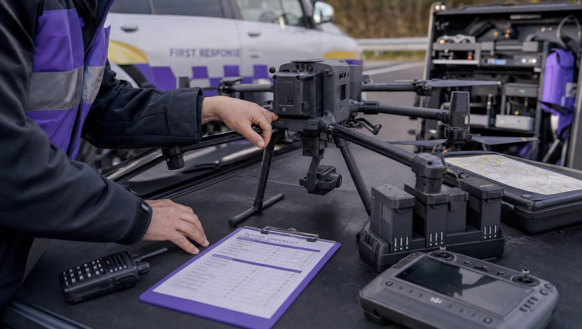
A short acceptance checklist can cover:
- Time between arriving at the site and being ready to search.
- Detection and confirmation performance against known targets.
- Useful search time with the team's chosen return and reserve arrangements.
- Location handover accuracy and communications without mobile coverage.
- Complete kit weight, battery turnaround and operator workload.
Avoid reducing the result to a single detection-distance figure. An aircraft may spot a participant at an impressive distance yet make it difficult to provide reliable coordinates or maintain a stable view.
Keep the decision traceable: record what was tested, the conditions and which requirements were met. Training should then address observed weaknesses rather than merely repeating the supplier's introductory flight.
The strongest search and rescue drone choice is the one your team can deploy, operate and support reliably under its actual rural conditions.
Frequently asked questions
Do rural rescue teams need a thermal camera? Thermal imaging is useful when temperature contrast helps distinguish a person, particularly in poor visible light. It cannot reliably detect people concealed by dense vegetation or structures. Assess thermal and visual cameras together against your common search conditions.
Can thermal imaging find someone beneath trees? It may detect a person through gaps in foliage, but it does not see through the canopy itself. Treat obscured ground as unsearched unless another method has assessed it.
How much should a team budget? Obtain current quotations for a complete deployment system, not just an aircraft. Include training, batteries, field charging, support and recurring costs. The required payload and deployment method can change the total substantially.
What is the most useful supplier demonstration? A controlled exercise on representative terrain, including target detection, coordinate handover and a simulated communications problem. Your own trained personnel should try the equipment rather than only watching the supplier operate it.
Plan the operation alongside the aircraft purchase
Build a mission profile, trial suitable equipment and budget for sustained deployment. If you are also reviewing how your organisation manages its drone programme, explore Dronedesk alongside the aircraft assessment.
 How to Choose a Search and Rescue Drone for Rural Operations →
 How to Carry Out a Drone Site Survey Before Mobilising →
 How to Evaluate Drone Companies for Long-Term Contracts →
 What a First Responder Drone Programme Needs Before Deployment →
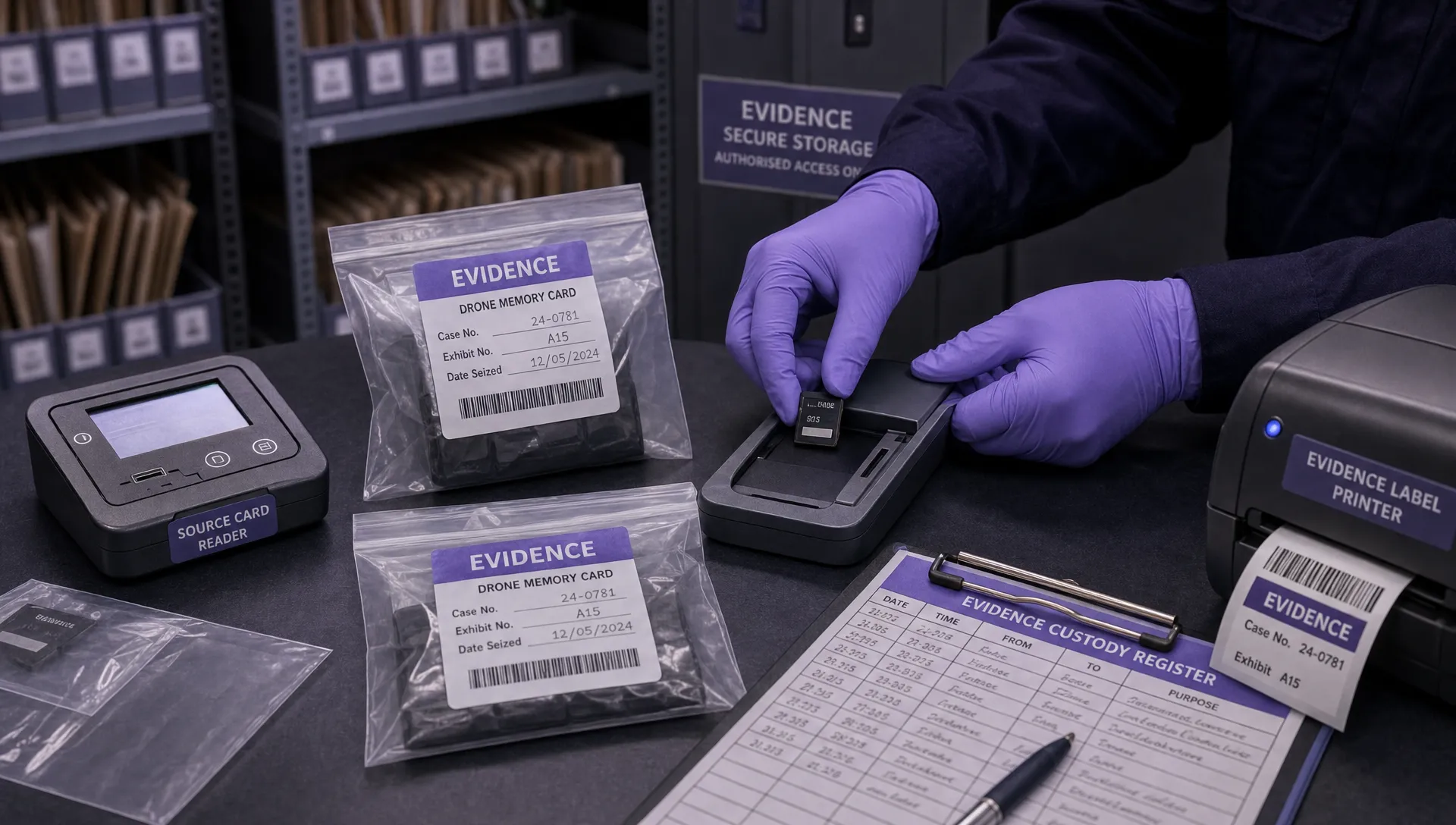 Law Enforcement Drones and Their Role in Evidence Collection →
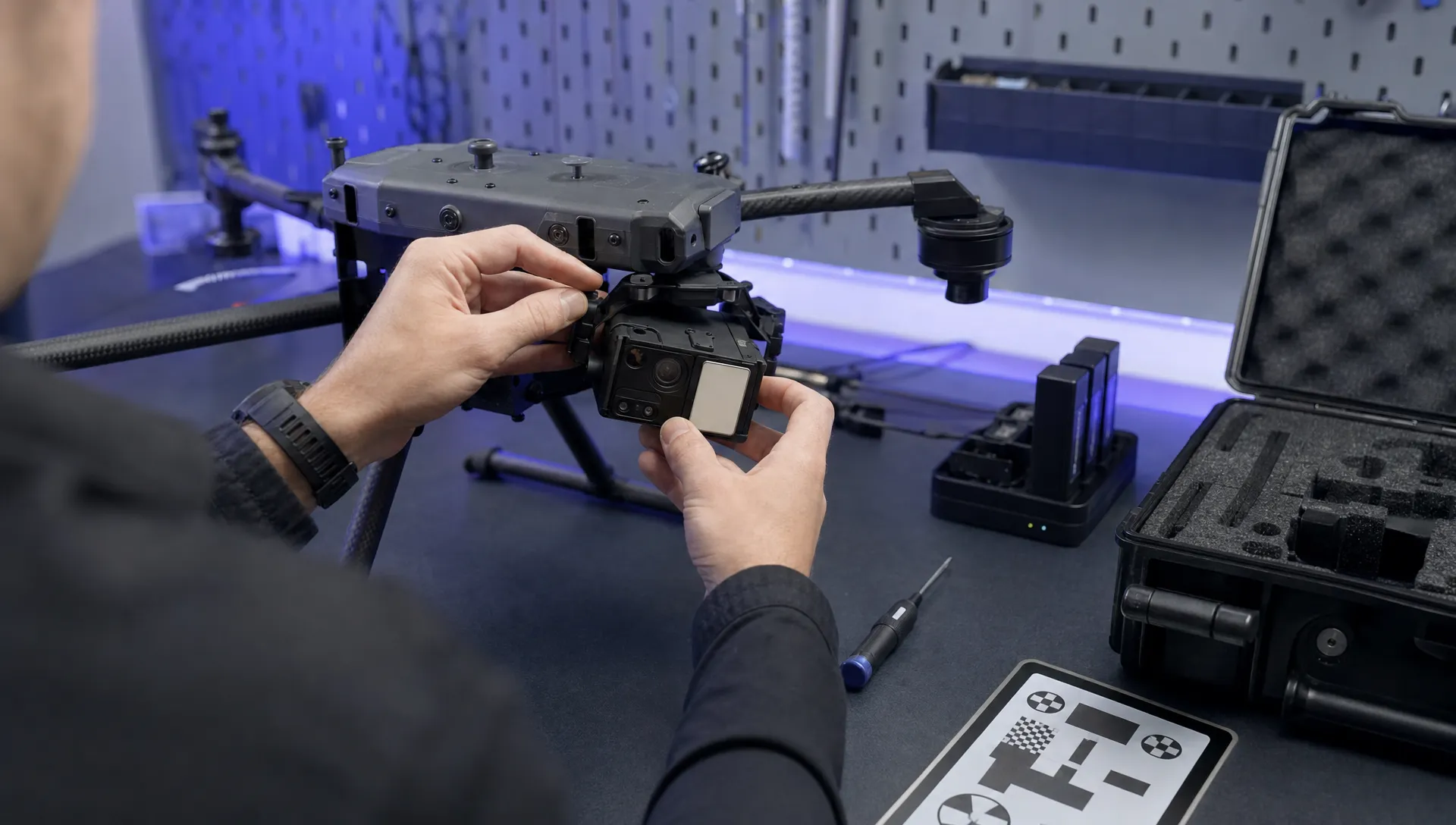 What Are UAV Systems? Aircraft, Payloads and Ground Equipment →
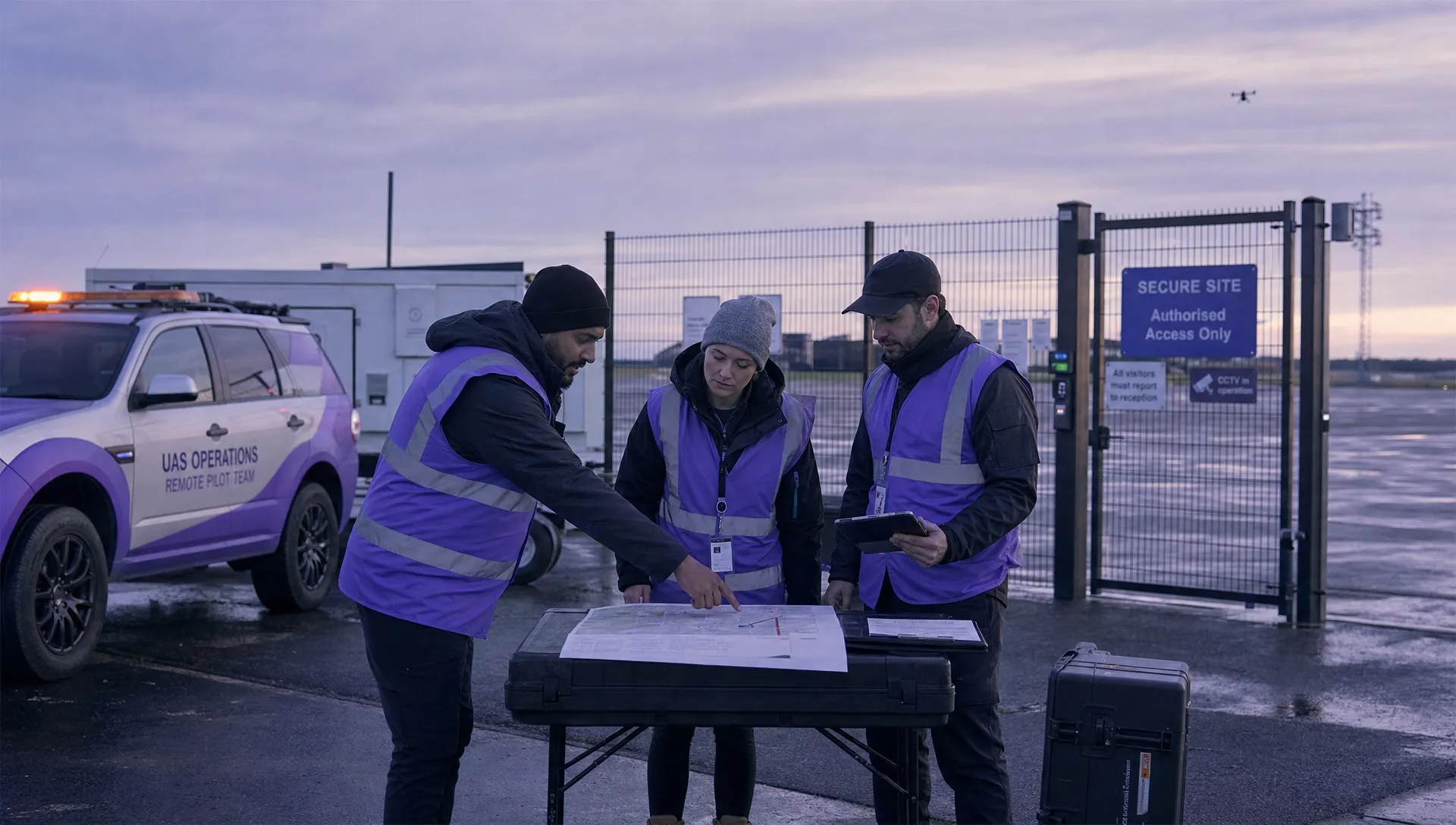 7 Best Flight Planning Apps for Commercial Drone Teams →
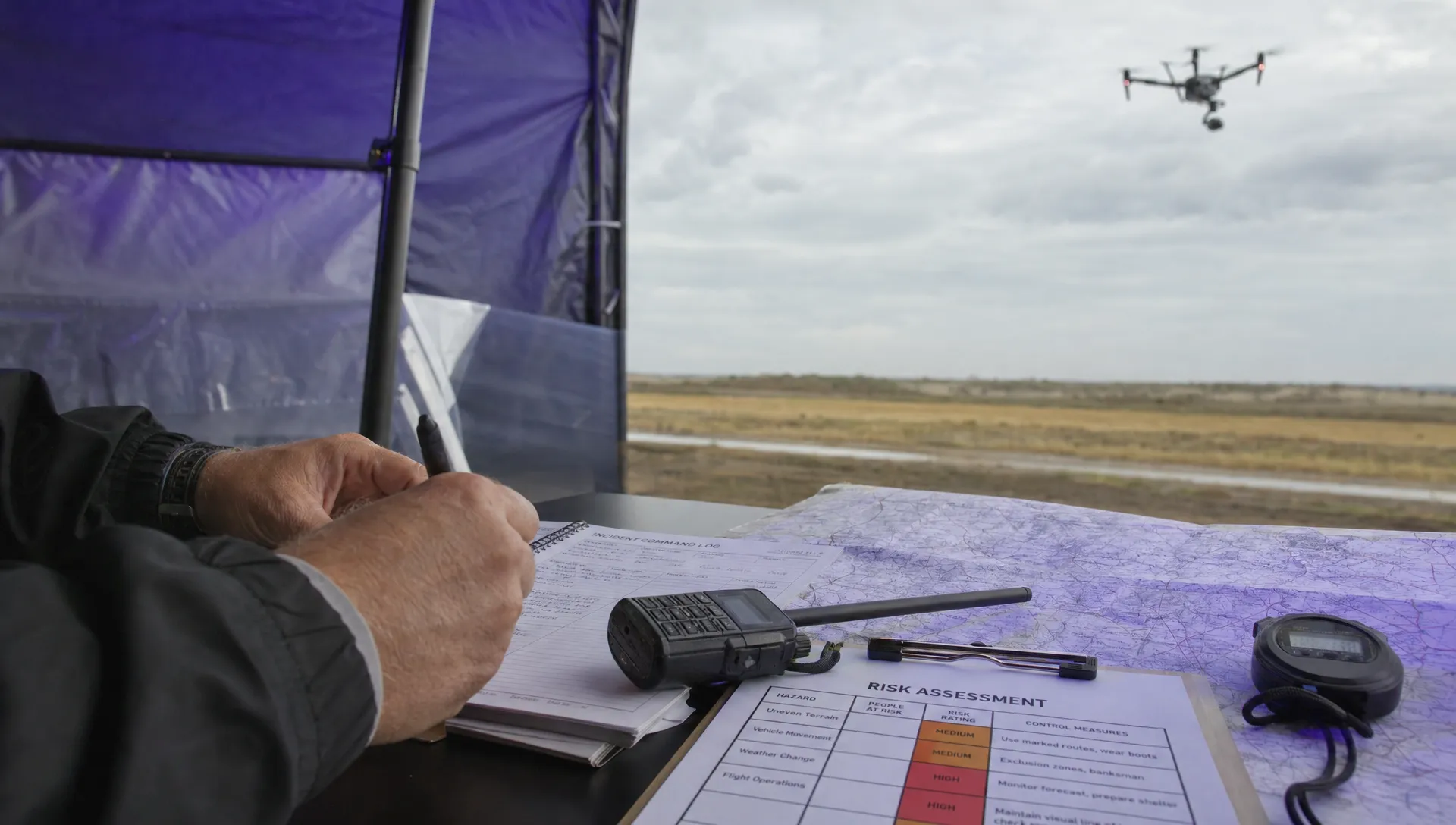 How Police Drones Support Incident Command →
 FAA Drone Flight Regulations for Operations From Moving Vehicles →
 DJI Remote ID Compliance Checks When Renting Aircraft →