
Beyond Visual Line of Sight Drone Operations and Observer Roles
A beyond visual line of sight drone operation needs a defined way to manage collision risk when the remote pilot cannot maintain direct visual contact with the aircraft. An observer can support that system, but placing someone along the route does not, by itself, establish that the flight is safe or permitted.
For survey teams, utility operators and emergency services, the practical questions concern responsibility: who watches the aircraft, who monitors surrounding airspace and what happens when either person loses coverage?
This guide focuses on UK operational planning. Confirm current requirements directly with the Civil Aviation Authority (CAA) before committing to a flight, as permissions and conditions depend on the proposed operation.
VLOS, EVLOS and BVLOS: what changes?
Visual line of sight describes more than being able to spot a distant object. The visual information available must support safe flight, including awareness of the aircraft’s position and surrounding hazards. A video feed provides a different view, with limits in coverage, depth perception and latency.
The following comparison explains the operational concepts, rather than establishing eligibility for a particular permission.
| Operating concept | How visual information is obtained | Planning implication |
|---|---|---|
| Visual line of sight (VLOS) | Direct visual observation supports control of the aircraft and awareness of its surroundings | Check visibility against the aircraft, background, lighting and task |
| Extended visual line of sight (EVLOS) | An arrangement using observers to extend visual coverage | Define observer positions, communications and handovers; do not assume the label grants permission |
| Beyond visual line of sight (BVLOS) | The remote pilot does not maintain direct visual contact throughout the operation | Establish how the operation manages traffic, ground exposure and system failures |
EVLOS terminology and its regulatory treatment are not universal. Describe what the crew will actually do rather than relying on an acronym.
Manufacturer transmission range is also separate from operating permission. A reliable connection over several kilometres does not demonstrate that airspace risk, ground risk or observer coverage is adequately controlled.
Observer roles in a beyond visual line of sight drone operation
“Observer” is too vague for an operating procedure. Each person needs a defined task, a coverage area and a clear way to report a problem. Use the role definitions required by the applicable operating framework and authorisation.
Unmanned aircraft observer
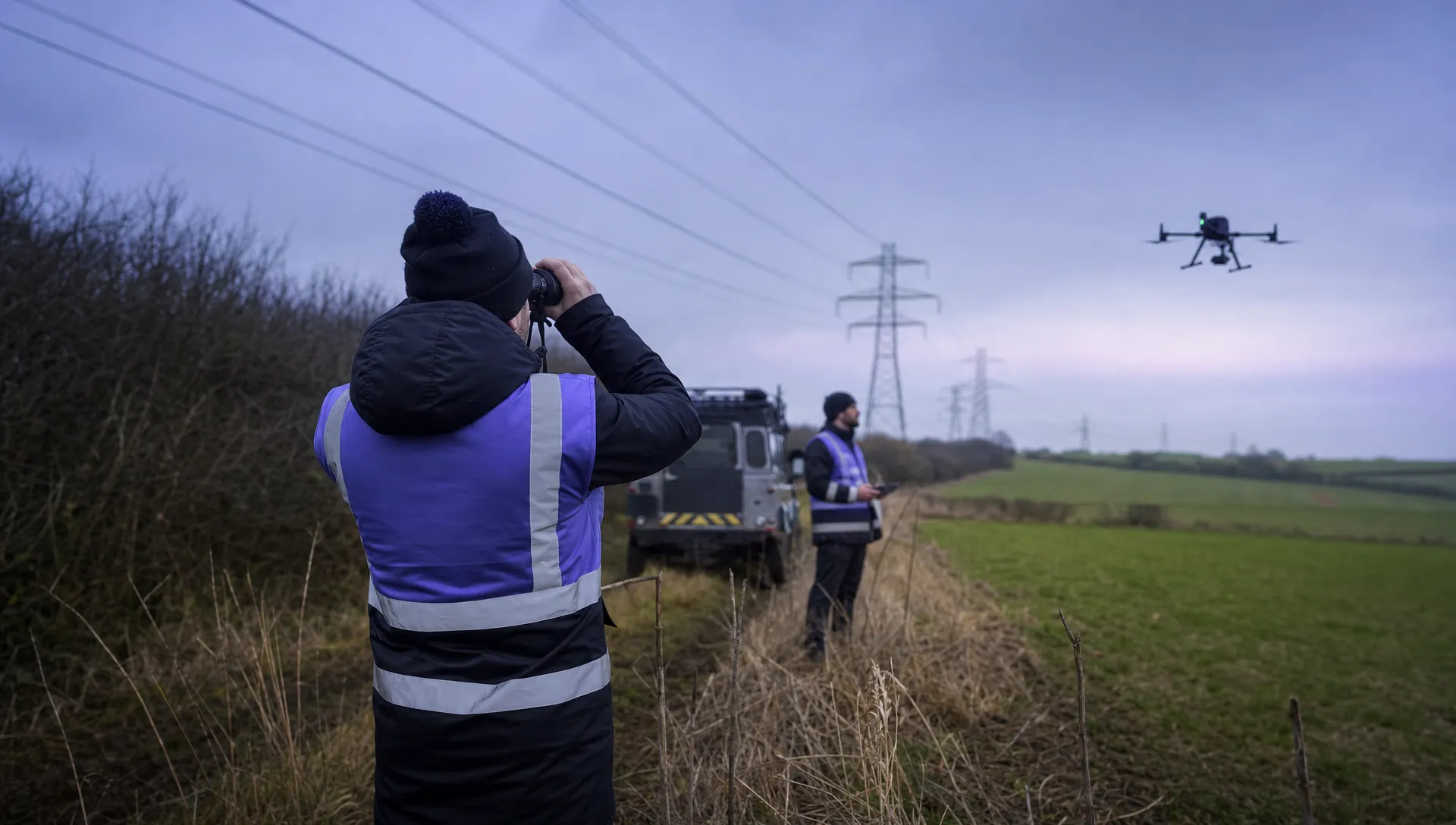
An unmanned aircraft observer watches the drone itself. Depending on the agreed arrangement, reports might concern its position, direction of travel or proximity to obstacles.
That role requires more than occasional sightings. A drone that blends into trees, disappears behind a structure or becomes difficult to distinguish against cloud may no longer provide useful visual information. Site assessment should identify those limits before flight.
Airspace observer
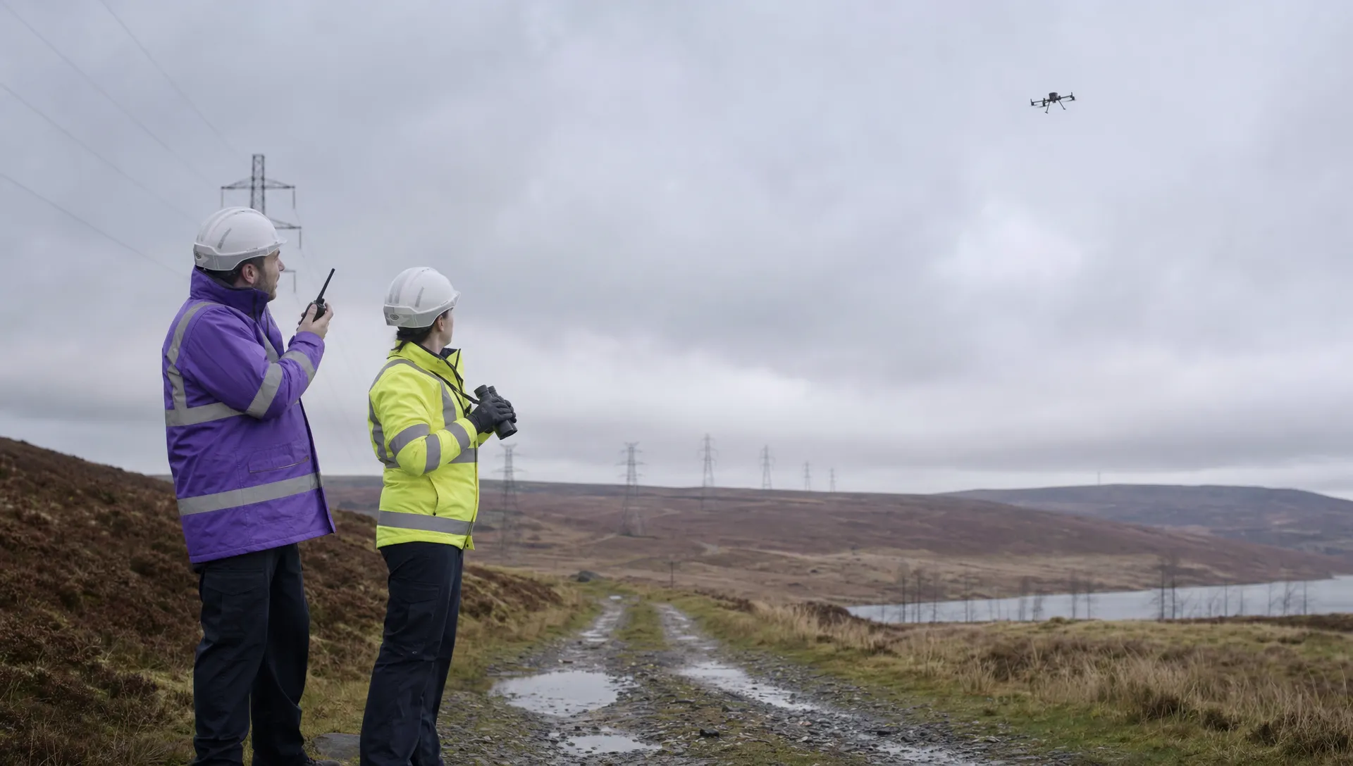
An airspace observer watches for other aircraft within an assigned area. Their task differs from following the drone continuously: concentrating on the drone can reduce attention to approaching traffic elsewhere.
Define the airspace to scan, relevant obstructions and the reporting method. Reports should use an agreed reference system that the pilot can interpret immediately.
Remote pilot and mission support
Assign responsibility for flight decisions and define any transfer-of-control arrangements. Observers need a direct way to report unsafe conditions, without uncertainty over who should respond.
Avoid assigning an observer competing duties without assessing the workload. Watching airspace while coordinating access, answering client calls or managing payload data can create gaps in coverage.
Confirm UK permissions before designing the crew
For a beyond visual line of sight drone proposal, start with the CAA’s official drone guidance and confirm the applicable permission pathway before purchasing equipment or promising a service date.
Describe the intended flight precisely: location, operating height, aircraft, route, surrounding airspace and exposure of people on the ground. Include the observation arrangement and explain which safety functions depend on it.
An observer network, automated dock or detect-and-avoid product should not be treated as a substitute for confirming permission. Likewise, a successful demonstration flight does not establish that a different route or operating environment is covered.
If the applicable assessment uses UK SORA, work from the CAA’s published UK SORA material, checking its current applicability with the CAA. Avoid copying assumptions from another operator’s assessment.
For support with complex authorisation applications, the drone consultants directory lists vetted consultants who can advise on the proposed operation. Prepare a clear concept of operations first so that advice addresses your actual aircraft, site and crew model.
Plan observer coverage as carefully as the flight route
A beyond visual line of sight drone mission needs a coverage plan, not simply observer positions marked on a map. Each position must be assessed for the task assigned to it.
Assess positions on site
Check sightlines at the intended operating height. A location that looks suitable on satellite imagery may be obstructed by a hedge, embankment or seasonal vegetation. Low sun can make one viewing direction difficult even when visibility is otherwise good.
Consider safe access and reliable communications too. An observer should not have to stand beside moving traffic or leave their assigned position to maintain radio contact.
Record areas where observation becomes unreliable. Those gaps must be addressed through the operating design, not left for the pilot to resolve during flight.
Make handovers explicit
A handover should identify the aircraft, confirm that the receiving observer has established the required coverage and obtain acknowledgement. Merely reaching a waypoint does not prove that the next observer can perform their task.
For a proposed utility inspection, for example, a bend in the corridor might mark the planned transfer between two observation areas. Test whether both observers have sufficient coverage around that point. If the receiving observer cannot confirm coverage, the aircraft should follow the predefined contingency rather than continue into the gap.
Agree concise radio calls and practise them. Include how to report uncertain traffic, a communications failure and an instruction to stop the mission. Avoid ambiguous messages such as “it’s over there”.
Match technical systems to the risks they address
The technical case for a beyond visual line of sight drone operation should explain what each system does, where it can fail and how the crew recognises that failure.
| System or function | Evidence worth preparing | Limitation to address |
|---|---|---|
| Command-and-control link | Coverage assessment, link-quality information and tested lost-link behaviour | Terrain, interference or network dependency can interrupt control |
| Navigation | Positioning performance and procedures for degraded or conflicting data | An aircraft can report a position that is inaccurate or unreliable |
| Traffic detection | Detection coverage, alert timing and operational response | Cooperative traffic information does not reveal every aircraft |
| Observer communications | Radio coverage checks and rehearsed calls | A functioning aircraft link does not guarantee functioning crew communications |
| Containment | Operating boundaries and tested responses to departures | A mapped boundary alone does not prevent an aircraft leaving the intended area |
A forward-facing camera is not automatically a detect-and-avoid system. Similarly, an electronic traffic display may only show aircraft carrying compatible equipment and transmitting usable information.
Assess the complete response chain: detection, recognition, decision and aircraft action. An alert that arrives too late, or cannot be interpreted quickly enough, may not support the intended safety function.
Keep technical claims tied to evidence for the proposed operating environment. A manufacturer’s specification and an operator’s demonstrated capability are different things.
Define contingencies before take-off
A contingency procedure needs a recognisable trigger, an assigned decision-maker and an action that remains safe in the circumstances. “Return to home” is not an adequate universal response: the return path or climb could introduce another hazard.
For each beyond visual line of sight drone mission, distinguish between a degraded condition that allows a controlled recovery and an emergency requiring an immediate response.
| Event | What the procedure should establish |
|---|---|
| Command link loss | Aircraft behaviour, expected route or landing response and how the crew confirms recovery |
| Unreliable navigation | How the problem is recognised and which recovery actions remain usable without trustworthy positioning |
| Observer communications failure | Whether the mission can continue under the agreed safety case and what happens if communication is not restored |
| Conflicting aircraft | Reporting phraseology, decision authority and a suitable avoidance or landing response |
| Deteriorating weather | Measurable operating limits, reassessment triggers and suitable recovery locations |
| Unexpected people or vehicles | How changing ground exposure is detected and when the flight must be paused or stopped |
These are procedure-design questions, not universal instructions for every aircraft. Test the chosen actions against aircraft behaviour, terrain and the operating area.
Rehearse failures without creating an uncontrolled live-flight situation. Tabletop exercises can expose missing responsibilities, while appropriately planned practical tests can establish whether communications and recovery procedures work as intended.
Adapt the observer model to the job
Utility inspections often involve long corridors with changing terrain and access constraints. Observer placement should account for those changes rather than applying uniform spacing along the route.
Survey work may involve repeated passes over a defined area. Assess whether the observer can maintain the assigned coverage throughout each pass, including turns and repositioning flights. Repetition can also reduce attention, so plan workload and breaks.
Emergency-service operations can involve rapidly changing activity on the ground and the arrival of crewed aircraft. The mission plan should explain how the drone team coordinates with the incident’s aviation arrangements and responds to changes in tasking.
In each setting, a beyond visual line of sight drone plan should identify which assumptions remain stable and which need reassessment during the job. A familiar site can still present different airspace activity, visibility or ground exposure on the next visit.
Prepare evidence that matches the operating procedure
An application or operational review is easier to assess when the documents describe the same operation. The route map, observer instructions and contingency procedures should not contradict one another.
Useful evidence includes:
- A concept of operations describing the task, aircraft, environment and crew responsibilities.
- Coverage assessments showing observer positions, obstructions and handover areas.
- Technical evidence supporting command links, navigation and any traffic-detection claims.
- Competence records and exercises demonstrating the crew’s ability to perform assigned duties.
- Controlled procedures for abnormal events, changes to the mission and post-flight review.
Crew competence should be task-specific. An experienced pilot may still need training for airspace observation, structured radio reporting or control handovers. Record what was assessed, not merely attendance at a briefing.
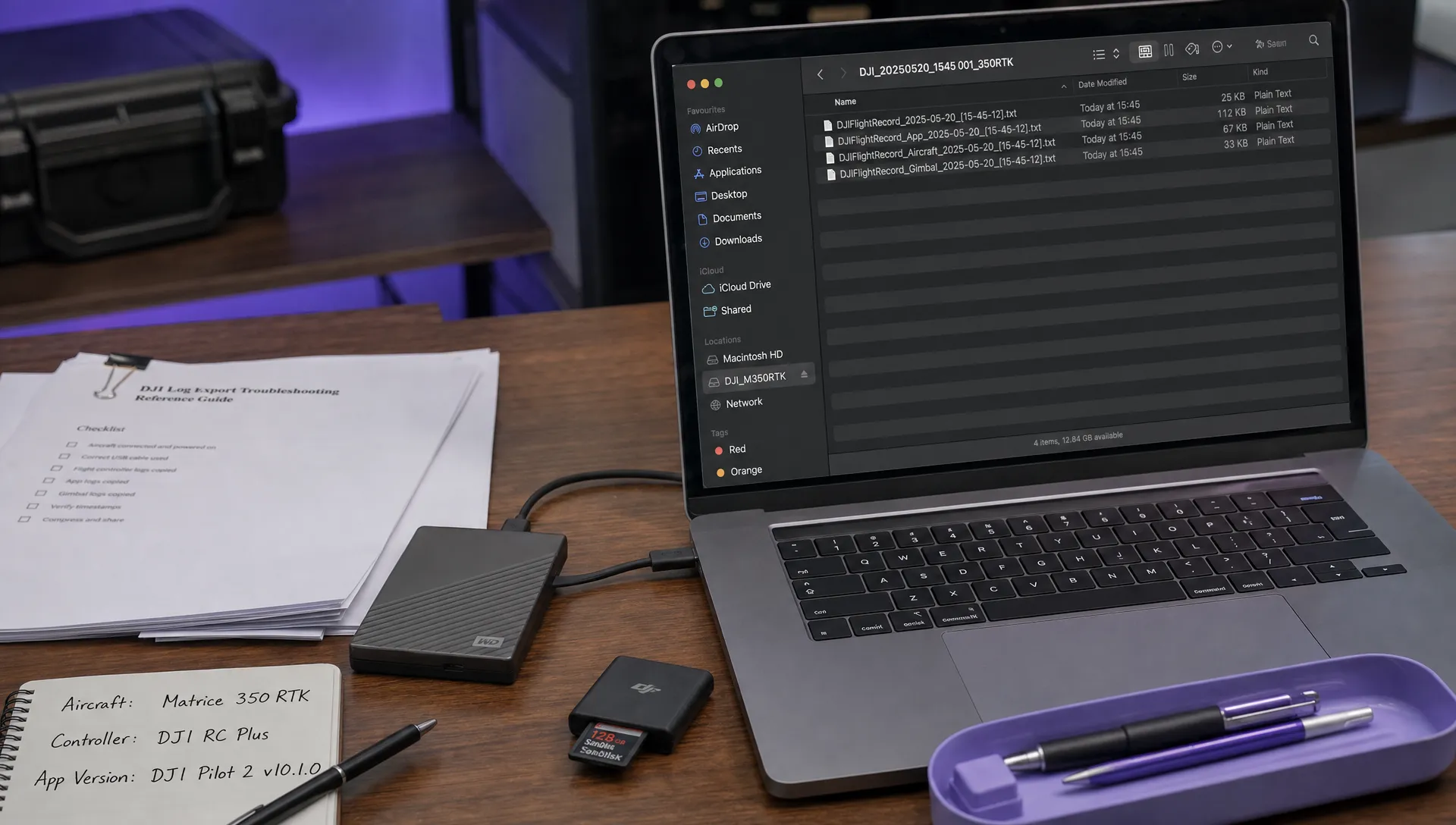
After testing, compare flight logs with observer reports and communications records. For DJI records, the DJI flight log analysis tool is a relevant resource for post-flight analysis. Aircraft data alone cannot establish what an observer could see or why a crew member made a decision.
Keep this evidence within a consistent drone operations management process. Revise the affected documents when equipment, crew arrangements or operating assumptions change.
Frequently asked questions
Does using observers automatically make a flight VLOS? No. The actual observation arrangement and applicable operating conditions determine how the flight should be treated. Adding observers along a route does not automatically turn a beyond visual line of sight drone operation into VLOS.
How should I start planning a UK BVLOS operation? Define the proposed operation before selecting the permission pathway. Consult current CAA guidance, confirm the applicable requirements and prepare evidence for the aircraft, operating environment and safety measures you propose to use.
Does every BVLOS mission need an airspace observer? Do not assume a universal staffing model. The proposed safety case and applicable authorisation conditions determine which functions need to be performed and how. An observer-based arrangement must demonstrate effective coverage rather than simply list crew members.
Does an FPV headset solve the visibility problem? A headset provides a camera view, not the same information as direct visual observation. It does not by itself establish that the proposed flight is permitted. Check the applicable CAA guidance and the observation arrangements required for your operation.
What training should observers receive? Train and assess them against their assigned tasks, including scanning, aircraft identification, reporting and failure procedures. Exercises should establish that reports are timely and understood by the pilot.
Review the workflow before expanding operations
Before extending a route or reducing observer staffing, revisit the evidence supporting the existing operation. A change that reduces deployment effort may also remove a safety measure.
Compare your planning and record-keeping requirements with Dronedesk’s published features when assessing your administrative workflow. Keep the distinction clear: organising an operation and demonstrating permission to conduct it are separate responsibilities.
 Beyond Visual Line of Sight Drone Operations and Observer Roles →
 How to Troubleshoot a DJI Log Export That Will Not Open →
 Drone Pilot Regulations for Visiting Overseas Contractors →
 Drone Laws Near Airports for Repeat Inspection Contracts →
 FAA Restrictions on Drones During Stadium Events Explained →
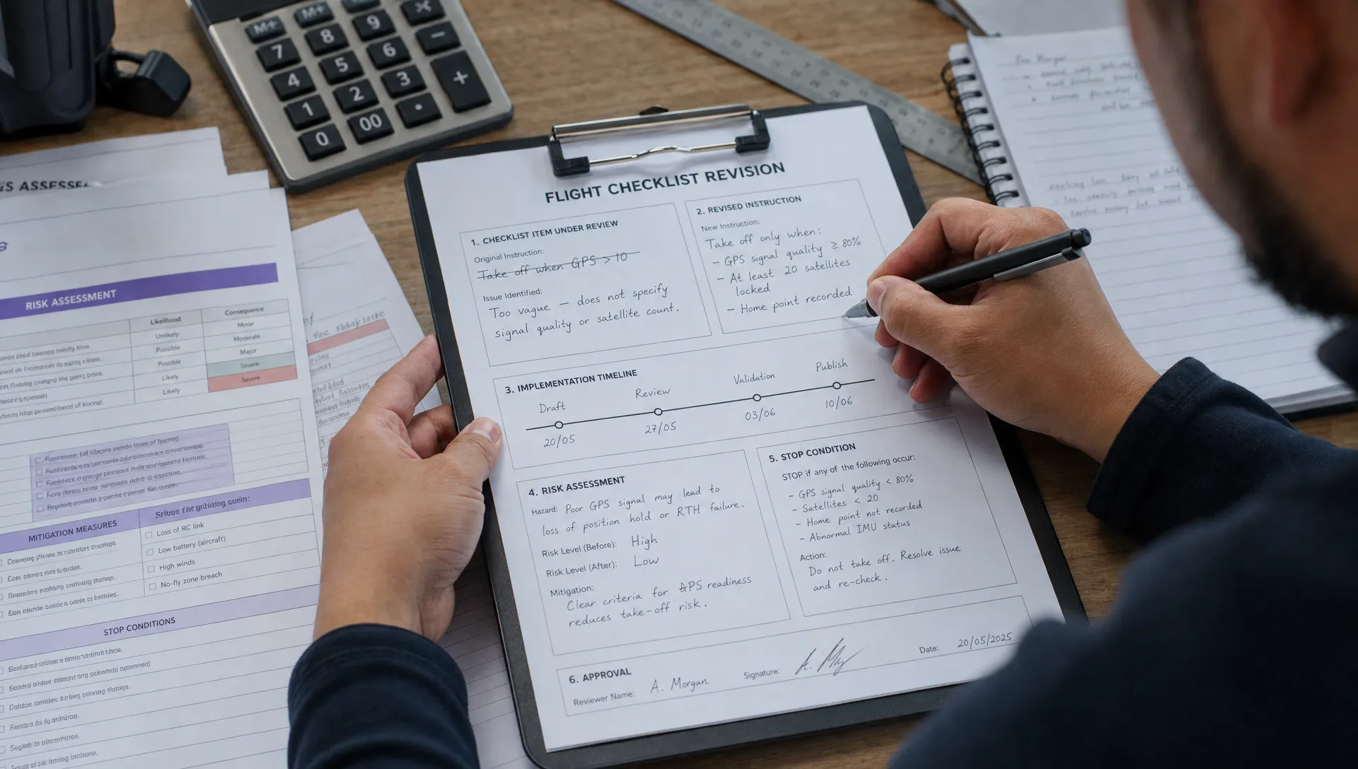 How to Update Drone Flight Checklists After a Near Miss →
 FAA Drone Regulations for Commercial Use in Paid Training →
 What a Drone Line of Sight Waiver Means for Project Scope →
 Drone Regulations for Commercial Use With Mixed Aircraft Fleets →
 FAA 107 Test Study Plans for Shift Workers →