
Law Enforcement Drones and Their Role in Evidence Collection
Aerial footage can show the position of a vehicle, the spread of debris or the route someone took through a scene. But footage from law enforcement drones becomes useful evidence only when investigators can explain how it was captured, what it actually shows and whether the files have changed since collection.
That makes evidence handling as important as the aircraft. A clear image can still be misleading if its timestamp is wrong, its location is uncertain or an investigator presents an enhanced copy without preserving the original. Equally, a thermal observation may support a search decision without establishing someone’s identity.
For police drone teams and the emergency services working alongside them, the aim should be a traceable record that another person can examine independently. That requires an evidence plan before take-off, controlled handling after landing and an honest account of the sensor’s limitations.
What law enforcement drones contribute to an investigation
A drone provides an elevated viewpoint without requiring investigators to enter every part of a scene. Depending on the equipment and conditions, it can capture overall context, record details or collect overlapping photographs for a reconstruction.
Its contribution usually falls into two categories: helping officers make decisions during an incident and preserving material for later investigation. These purposes overlap, but their recording requirements can differ. A compressed live feed suitable for incident command may contain less detail than the aircraft’s onboard recording.
Teams should therefore distinguish between what an operator saw live, what the aircraft recorded and what was subsequently exported. Those versions should not be treated as interchangeable.
Aerial material also needs corroboration. Ground photographs, witness accounts and survey measurements may answer questions that an overhead camera cannot resolve. The strongest evidential account explains how these sources fit together rather than asking one recording to prove everything.
Match the capture method to the investigative question
Collision and incident reconstruction
At a collision scene, overlapping photographs can support photogrammetry, producing outputs such as an orthomosaic or a three-dimensional model. These can help investigators examine vehicle positions, debris distribution and the relationship between scene features.
For law enforcement drones used in measurement work, image quality alone is insufficient. The team should document its survey method, reference measurements and independent accuracy checks. RTK positioning does not, by itself, establish the accuracy of every point in a finished model.
Capture the wider scene before concentrating on individual details. Record anything that changes during the operation, including vehicle movement, recovery work or alterations to temporary scene markers.
Thermal observations during searches
Thermal cameras detect infrared radiation from surfaces. They can help locate a person against a contrasting background, but performance depends on distance, weather, vegetation, viewing angle and the temperature difference between the subject and its surroundings.
Ordinary drone-mounted thermal cameras do not see through walls. Glass can also obstruct or reflect thermal radiation, making interpretation difficult.
Preserve the original thermal recording and record relevant camera settings. A bright shape should not be described as a particular person without supporting evidence. Where a device supports radiometric recording, establish whether the saved file contains that data rather than assuming a displayed colour image provides reliable temperature measurements.
Scene context and observations
Visible-light video can document movement or establish where objects were positioned. However, digital zoom, motion blur and poor lighting can limit what investigators can identify.
When law enforcement drones record a vehicle or person, separate observation from interpretation. “A person entered the rear door” is different from “the suspect entered the building”. The latter depends on an identification that the footage may not establish.
Keep the wider recording where it provides context. A short exported clip can omit an obstruction, a change of camera angle or an earlier event that affects how the sequence should be understood.
Build a chain of custody around the recording
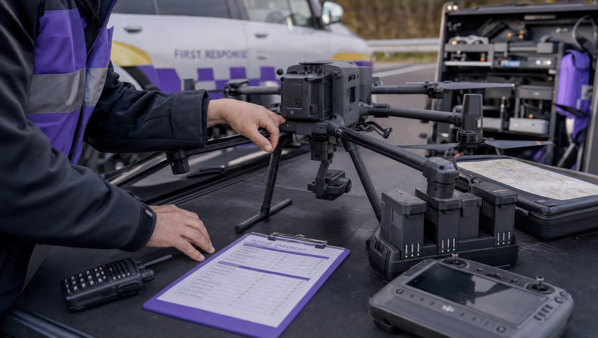
Before take-off: agree an evidence plan
Define the investigative question and the recording needed to address it. A general scene overview needs a different capture method from a measurement task or an attempt to read a vehicle registration.
The plan should identify the recording operator, aircraft, camera and storage media. It should also establish who receives the material after landing and where the evidential master will be stored.
Check device clocks against an agreed reference and record discrepancies, including time zones. If a clock error is discovered later, document the offset rather than changing the original file to make its timestamp appear correct.
For joint incidents, agree ownership and handover arrangements before deployment. An informal assumption that another agency is retaining the footage can leave a gap in the record.
During capture: record conditions and limitations
The evidential value of law enforcement drones depends partly on information that never appears in the image. Weather, obstructions, loss of visual contact with a subject and changes of camera mode can all affect interpretation.
Keep contemporaneous notes of relevant events. Distinguish the recording start time from the moment the aircraft took off and identify any gaps or interruptions.
Avoid narrating uncertain conclusions as facts. If an operator is unsure whether an object is a tool, a weapon or something else, the record should retain that uncertainty.
For survey work, document reference points and processing-relevant settings. For observations, note whether recognition came from the live display, a later review of the original recording or information supplied by another officer.
At handover: preserve originals and record transfers
Transfer files through an approved process that preserves the original recording and its associated metadata. Avoid casual sharing through messaging services, which may compress files, alter filenames or separate footage from useful context.
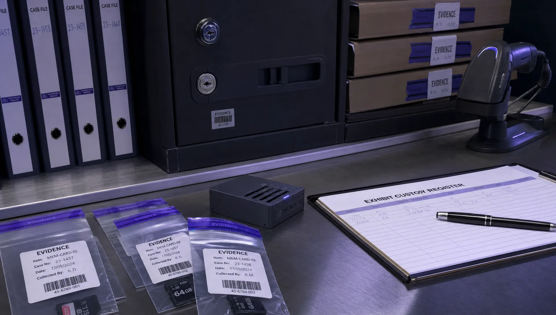
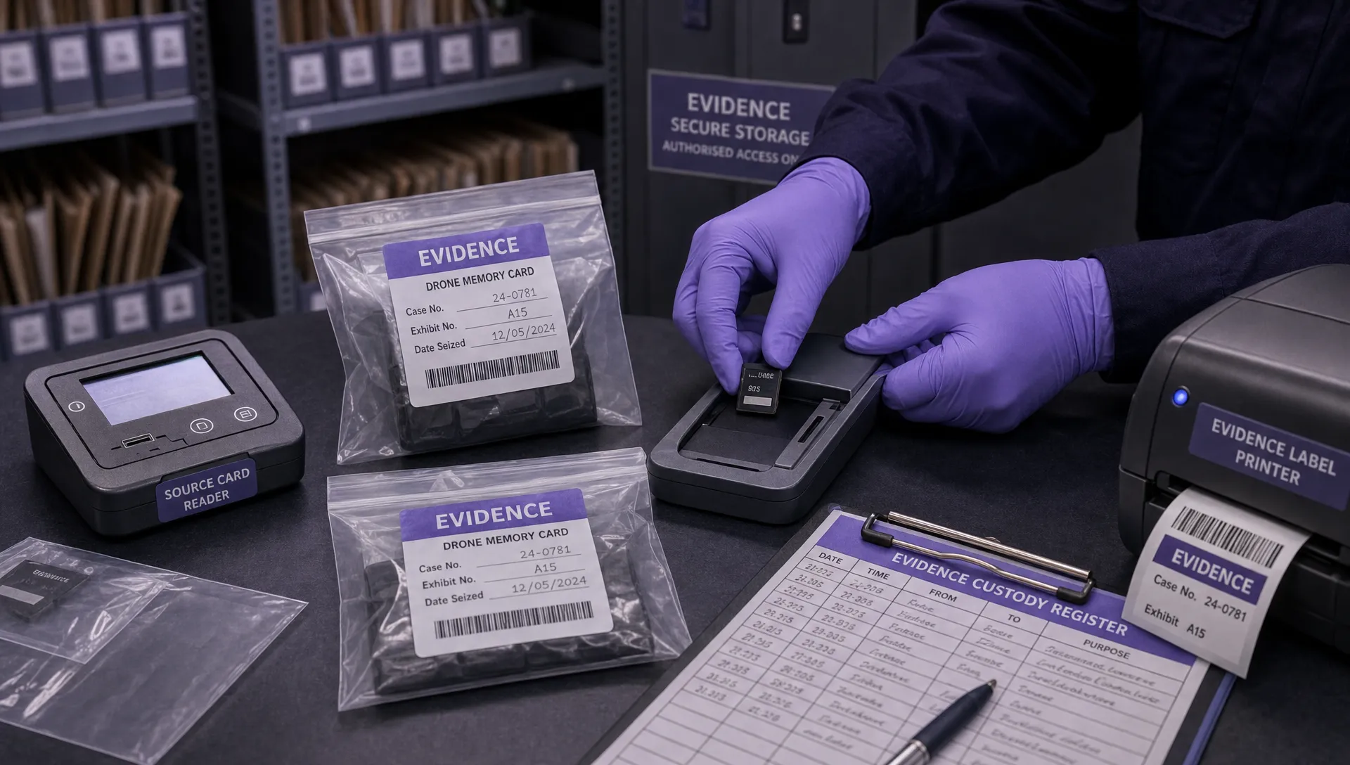
A custody record for law enforcement drones should connect each evidential item to its source media, incident reference and handling history. Record who transferred it, when the transfer occurred and where the master copy was placed.
Cryptographic hashes, such as SHA-256, can help demonstrate that a file has not changed since it was first hashed. A matching hash does not prove that the recording depicts events accurately or that its original timestamp was correct.
Do not format or reuse source media until the responsible evidence owner confirms that this is permitted under the applicable procedure. Where physical media is retained, label and secure it so that its identity remains clear.
During analysis: keep derived material separate
Stabilised video, enhanced images, annotated stills and photogrammetric models are derived outputs. Preserve them separately from originals and record the software, settings and processing steps used to create them.
An annotation should distinguish an investigator’s interpretation from recorded content. Enhancement cannot reliably recover detail that the sensor never captured, and generative reconstruction should not be presented as an observed feature.
Flight logs can support a review of aircraft position, timing and operation, but they do not replace the recording or custody record. Document any clock differences when comparing logs with video.
Before uploading operational files to an external service, including the DJI flight log analysis tool, confirm that the transfer is permitted under your organisation’s information-handling arrangements. Logs themselves can contain sensitive location information.
Choose equipment around the evidence requirement
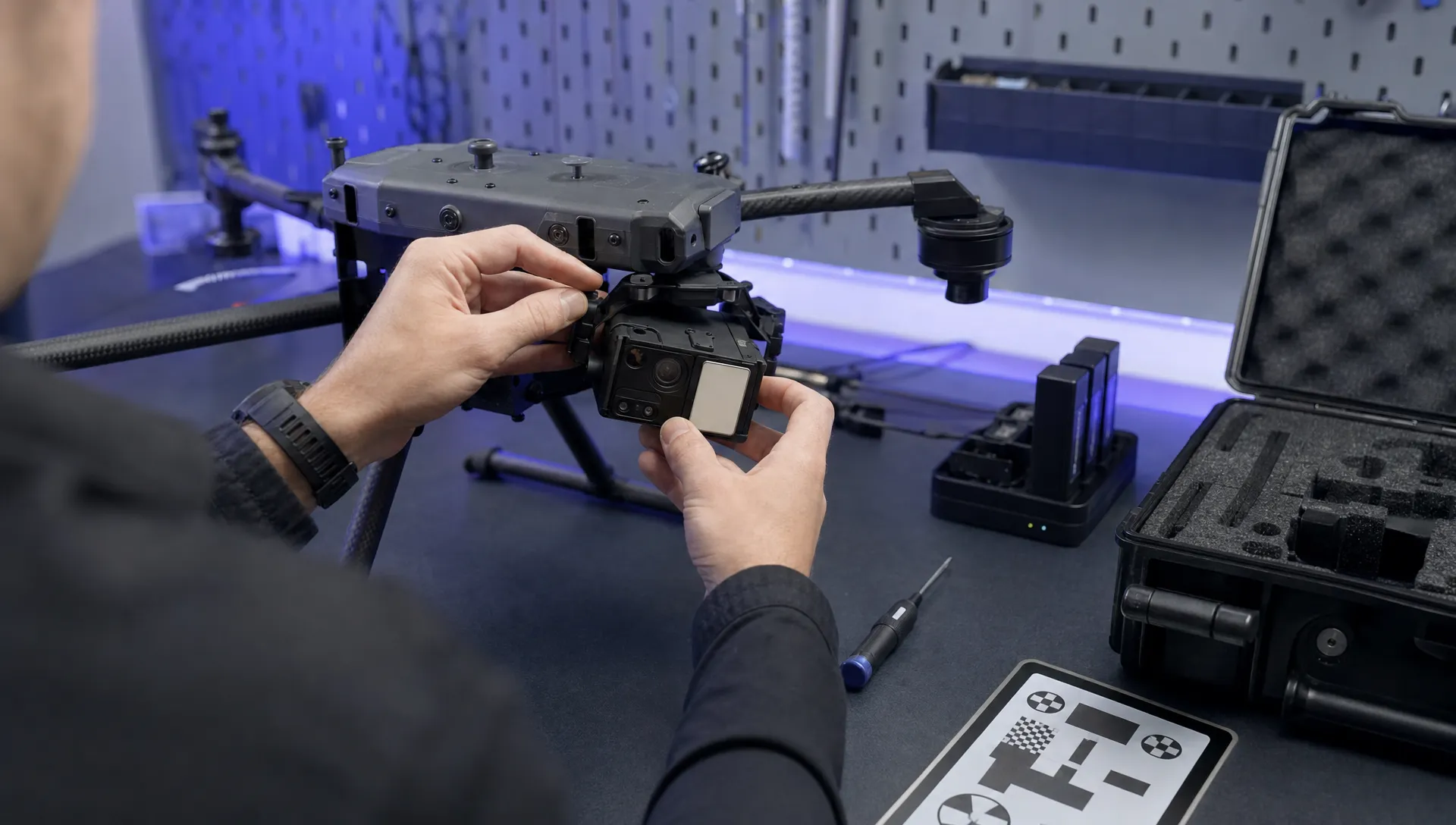
A camera’s headline resolution is only one consideration. Lens characteristics, recording format, low-light performance and the ability to preserve original files may matter more for a particular investigation.
| Investigative task | Useful capability | Limitation to document |
|---|---|---|
| Overall scene recording | Stable visible-light imagery | Obstructions, lighting and incomplete coverage |
| Collision reconstruction | Consistent overlapping photographs | Reference measurements and validated model accuracy |
| Night-time search support | Thermal imaging | Contrast, occlusion and uncertain identification |
| Distant detail capture | Suitable optical focal length | Motion blur, atmospheric conditions and restricted context |
| Incident sequence review | Continuous recording with reliable timing | Recording gaps and clock differences |
A practical procurement test for law enforcement drones is whether the complete recording process supports the intended use. Can the team retrieve original files, explain the metadata and reproduce its analysis? Can recordings be handled without an unapproved cloud transfer?
Test these questions with representative material before operational deployment. A system that produces a clear live picture may still be unsuitable for a particular evidential workflow.
Training should cover interpretation and evidence handling as well as aircraft control. Staff reviewing thermal imagery or producing measured models need competence in those tasks, not simply experience flying the platform.
Verify flight permissions and investigative authority separately
Before deployment, have the force’s aviation lead confirm the applicable operating arrangements against current Civil Aviation Authority drone guidance. Record the mission-specific permissions, conditions and decisions rather than relying on assumptions carried over from a previous operation.
Separately, ask the appropriate legal and information-governance specialists to confirm the authority for the proposed collection and use of recordings. A flight-planning decision does not settle every question about surveillance, privacy or disclosure.
For law enforcement drones, this separation helps avoid treating an incident number, pilot qualification or completed airspace check as confirmation that every aspect of a deployment has been approved.
Police missions should not be planned by simply copying a civilian operator’s checklist. The responsible specialists should establish which requirements apply to the particular mission. This article does not specify police exemptions, qualification requirements or surveillance powers, which need direct verification for the operation concerned.
Control access, retention and secondary use
Privacy safeguards begin with deciding what to collect. Frame recordings around the operational purpose and avoid unnecessary coverage of neighbouring homes, gardens or uninvolved people where practicable.
Access should follow assigned duties rather than general interest. The pilot, investigator, evidence manager and disclosure reviewer may need different permissions. Use named accounts and access records where the approved system supports them, and avoid shared credentials that obscure who viewed or exported material.
Footage from law enforcement drones should have a recorded retention decision. Relevant material, unrelated footage and training copies may need different handling. Do not invent a universal deletion period: establish the applicable schedule, review dates and any preservation requirements with the responsible team.
The Information Commissioner’s Office guidance on video surveillance is a useful official starting point for privacy planning, alongside force-specific advice.
Public release is a separate decision from evidential storage. A clip suitable for an investigation may expose a witness, reveal a private location or remove context when published. Keep any approved redacted release copy distinct from the evidential master.
Frequently asked questions
Can police drones see inside a house? Ordinary visible-light and thermal cameras cannot see through opaque walls. A visible-light camera may record through an unobstructed window if the angle and lighting allow it. Thermal imagery generally shows surface radiation, not a view of people through a building.
Does a clear recording automatically make reliable evidence? No. Investigators still need to establish its source, handling history and context. A clear image can contain an incorrect timestamp or support a mistaken interpretation. Admissibility questions should be referred to the relevant legal specialists.
Who should be able to access police drone footage? Access should be assigned through the force’s approved procedures according to the person’s duties and the material involved. Being involved in drone operations should not automatically provide unrestricted access to case recordings.
How should someone raise concerns about a drone sighting? Do not assume that an aircraft is police-operated. Note the time, location and behaviour without approaching the aircraft or interfering with it. Contact local police for non-emergency concerns, or emergency services if there is immediate danger. Lights and aircraft appearance alone do not reliably identify an operator.
Keep operational administration distinct from case evidence
A programme using law enforcement drones needs operational records and an evidence-handling process, but these serve different purposes. Compare planning and administrative requirements with Dronedesk’s published features, while assessing evidential storage and access controls separately through your force’s approved process.
Before the next deployment, test one recording through capture, transfer, review and retrieval. Any step that depends on an undocumented assumption deserves attention before the material is needed in an investigation.
 What a First Responder Drone Programme Needs Before Deployment →
 Law Enforcement Drones and Their Role in Evidence Collection →
 What Are UAV Systems? Aircraft, Payloads and Ground Equipment →
 7 Best Flight Planning Apps for Commercial Drone Teams →
 How Police Drones Support Incident Command →
 FAA Drone Flight Regulations for Operations From Moving Vehicles →
 DJI Remote ID Compliance Checks When Renting Aircraft →
 What a Drone Site Selection Tool Can Miss About Ground Access →
 How to Brief Clients on Drone Restrictions Near Airports →
 How to Choose the Best Drone Logbook for Shared Aircraft →