
How to Assess a Drone Flying Conditions App Before a Mission
A drone flying conditions app can help you assess a mission, but its green indicator is not a go/no-go decision. The useful question is whether its information is current, relevant to your location and detailed enough to compare against the limits of your aircraft and operation.
For survey teams, utility inspectors and emergency services, that means looking beyond the headline wind speed. Gusts, conditions at working height, forecast uncertainty and local terrain can all change the decision. Before relying on an app, test both the quality of its data and how clearly it communicates what it cannot tell you.
Define the mission before judging the app
Start with the aircraft, payload, site and intended flight window. An app cannot give a meaningful assessment if your operating criteria are undefined.
Use the documentation for your exact aircraft and configuration. For example, DJI’s Matrice 350 RTK downloads page provides access to model-specific manuals. Do not transfer a wind-resistance figure from another aircraft or treat that figure as your routine operating target.
Your assessment should distinguish between published aircraft limits and the more conservative thresholds established for the mission. Relevant factors include:
- Wind and gust thresholds: Allow for turbulence, the return route and the demands of the payload.
- Temperature and moisture: Check operating limits for the aircraft, batteries and any additional equipment.
- Visibility and lighting: Consider the conditions needed to monitor the aircraft and capture usable data.
- Mission duration: Assess the whole operating window, including setup, delays and recovery.
A utility inspection beside structures needs a different assessment from a survey over open ground. An urgent deployment still needs explicit limits rather than an assumption that urgency makes the forecast acceptable.
A useful drone flying conditions app should let you compare its information with those criteria, or present enough detail for you to make that comparison yourself.
Check where the forecast comes from
A weather number without context is difficult to trust. Look for the forecast provider or model, the forecast issue time and the time each value applies to.
Forecast issue time and forecast valid time are different. A prediction for 14:00 may come from a model run several hours earlier. Refreshing the screen does not necessarily mean the underlying forecast has changed.
Check whether the app distinguishes forecasts from observations. A nearby weather station measures conditions at its own location, not necessarily at your launch point. Likewise, a forecast grid represents an area rather than the exact airflow around a mast, roof edge or wooded boundary.
For an independent comparison, consult the Met Office’s forecasts and weather warnings. Compare the same location, time and variable. Differences between providers warrant investigation, although agreement alone does not prove site conditions will match.
When assessing a drone flying conditions app, favour visible data provenance over a polished display. You should be able to explain where a critical value came from and when it was last updated.
Separate forecast height from flight height
The wind displayed on the home screen may describe near-surface conditions. It may not represent the wind at your planned working height.
If the app provides altitude-specific forecasts, establish what the height means. Is it referenced to ground level, sea level or a modelled atmospheric level? Those are not interchangeable, especially on elevated or uneven terrain.
Also check whether the value is a model estimate or an observation. A selectable altitude does not make the forecast a direct measurement at that height.
Buildings, ridges and trees can create local acceleration, shelter and turbulence that a broad forecast does not resolve. An on-site anemometer helps assess conditions where it is placed, but a sheltered reading at the launch point should not be treated as representative of an exposed route.
Test how a drone flying conditions app handles uncertainty
An app should communicate more than a single wind speed or weather icon. Assess whether it shows gusts, wind direction and changes throughout the intended flight window.
Check units carefully. A team switching between metres per second, kilometres per hour and knots needs consistent thresholds. Compare like with like: sustained wind against the corresponding wind criterion, gusts against the relevant gust criterion.
Rain information also needs interpretation. A precipitation probability does not tell you how intense rain will be at the site. Radar can help show the movement of precipitation, but check its timestamp and remember that it does not guarantee conditions later in the mission.
For fog, low cloud or cold conditions, examine the underlying variables rather than relying on an icon. Temperature and dew point can support an assessment, but they do not establish visibility along the route or prove that icing is absent.
A drone flying conditions app is more useful when it makes uncertainty visible than when it compresses everything into an unexplained score. If forecasts disagree near an operational limit, the uncertainty itself should influence the decision.
Investigate the meaning of a green score
Find out what produces any “good to fly” rating. Does it use generic thresholds or your aircraft-specific criteria? Does it include gusts, or only average wind? Can a missing variable still produce a reassuring result?
Treat an undisclosed scoring method as a summary, not evidence. A green score should never override a threshold breach elsewhere on the screen.
The same applies to missing data. A blank gust field is not evidence of calm conditions, and an unavailable forecast should not silently inherit yesterday’s assessment.
Assess airspace information separately
Weather suitability and airspace assessment are different parts of mission planning. If an app includes both, examine each data source independently.
For map layers, check geographical coverage, update information and whether temporary information is included. Establish what the app means when it displays no warning. That could indicate no relevant item in the selected dataset, rather than a complete assessment of the location.
Also test whether a layer remains visible at different zoom levels and whether the mission date affects the information shown. A useful interface should make these details understandable without guesswork.
Do not infer the quality of airspace information from the quality of the weather forecast. A drone flying conditions app may be strong in one area and limited in another. Where coverage or freshness is unclear, consult the relevant official aviation information separately before completing your planning.
Run a realistic pre-mission test
Evaluate the app using a representative site and aircraft, not just a convenient location with benign weather. Include a scenario close to one of your operating thresholds, where the presentation of uncertainty matters.
Use this assessment table during a trial. These are evaluation criteria, not claims that every app offers each capability.
| Check | What to inspect | Reason to investigate further |
|---|---|---|
| Location | Coordinates, map position and site elevation | The forecast refers to a nearby town rather than the operating site |
| Timing | Issue time, valid time and update behaviour | Refreshing leaves the underlying data age unclear |
| Wind | Sustained wind, gusts, direction and units | Gusts are absent or units are ambiguous |
| Height | Reference height and available altitude information | Surface wind is presented as though it covers the whole route |
| Moisture and visibility | Rain, fog and relevant supporting variables | A simple icon hides decision-critical details |
| Missing data | Warnings, unavailable fields and cached information | The app remains reassuring when essential data disappears |
| Decision evidence | Whether critical values and timestamps can be retained | The team cannot reconstruct what informed the assessment |
Test connectivity before depending on the app at a remote site. If it retains cached information, check whether the age of that information remains obvious. Offline access is useful only when nobody mistakes old data for a current update.
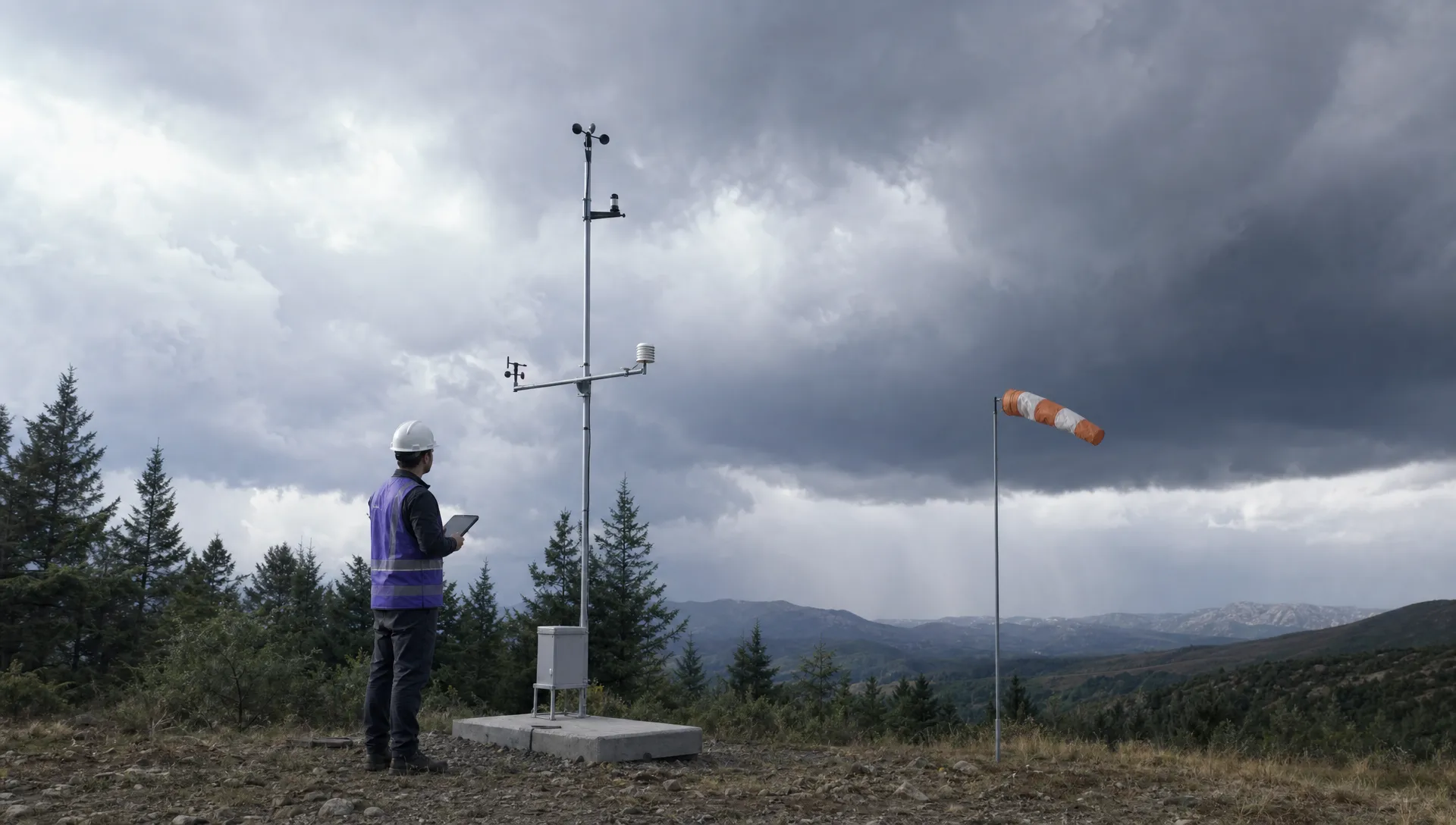
Worked example: an exposed survey site
Consider an illustrative mission with an internal gust threshold of 8 m/s. This is an example, not a recommended limit for any aircraft.
The app’s main screen shows average wind of 5 m/s and a green indicator. Opening the detail reveals forecast gusts of 9 m/s during the planned flight window.
The headline looks acceptable, but the gust forecast exceeds the team’s criterion. A sheltered launch-point measurement of 4 m/s would not cancel that concern, particularly if the route crosses an exposed ridge.
In this scenario, the drone flying conditions app passes the information test if it makes the gust value and its timing easy to find. Its green summary fails your operational test if it hides or disregards the threshold breach.
The planning decision would be to hold, reassess the timing or redesign the mission within the team’s established procedures. The lesson is to evaluate the underlying values, not to negotiate with the colour of the indicator.
Make the go/no-go decision auditable
Before deployment, establish who reviews conditions and who owns the final decision. A shared screenshot is not enough if different team members interpret it using different limits.
Record the forecast source, location, issue time, valid time and relevant values. Add the applicable operating thresholds, any on-site observations and the reason for proceeding, holding or cancelling.
Keep this evidence with the mission planning record. The aim is to make the decision understandable, including the assumptions and uncertainties that existed at the time. Dronedesk’s guide to building a practical drone flight risk assessment provides related context for structuring the wider assessment.
Define reassessment triggers as well. A delayed start, changing rain pattern, increasing gusts or a different aircraft configuration can make an earlier assessment unsuitable.
A drone flying conditions app should support that decision process, not replace it. For a survey company, this helps separate weather suitability from data-quality requirements. For an emergency service, it makes the assumptions behind a rapid deployment explicit.
Stop the evaluation if essential information remains unavailable. A convenient interface is not a reason to accept an unresolved gap in a safety-critical input.
Frequently asked questions
Can one app provide everything needed to assess flying conditions? It may bring several inputs together, but assess its coverage rather than assuming completeness. Aircraft documentation, site observations and relevant official aviation information may still need separate checks.
How accurate are wind forecasts at a launch site? Accuracy varies with the forecast model, lead time, terrain and local exposure. A forecast is useful planning evidence, but it does not measure the airflow at every point on your route. Compare it with site conditions and retain an appropriate operating margin.
What should I do when two apps disagree? First compare location, valid time, units, forecast height and the age of the underlying data. If meaningful disagreement remains close to your operating threshold, treat it as uncertainty rather than selecting whichever result permits the flight.
Is a green indicator enough to proceed? No. A drone flying conditions app can summarise selected inputs, but the decision still depends on your mission criteria, current conditions and unresolved information gaps. Inspect the values behind the indicator before relying on it.
Choose for your workflow, not just the forecast screen
Select an app only after testing how it handles your aircraft criteria, representative sites and changing conditions. Prioritise transparent sources, visible timestamps and clear treatment of missing information over a reassuring dashboard.
If you are also reviewing how this assessment fits into wider operations management, use the Dronedesk features page to check the published capabilities against your team’s requirements. Keep the weather-app evaluation focused on one practical outcome: a mission decision you can explain and support with evidence.
 FAA Restrictions on Drones During Stadium Events Explained →
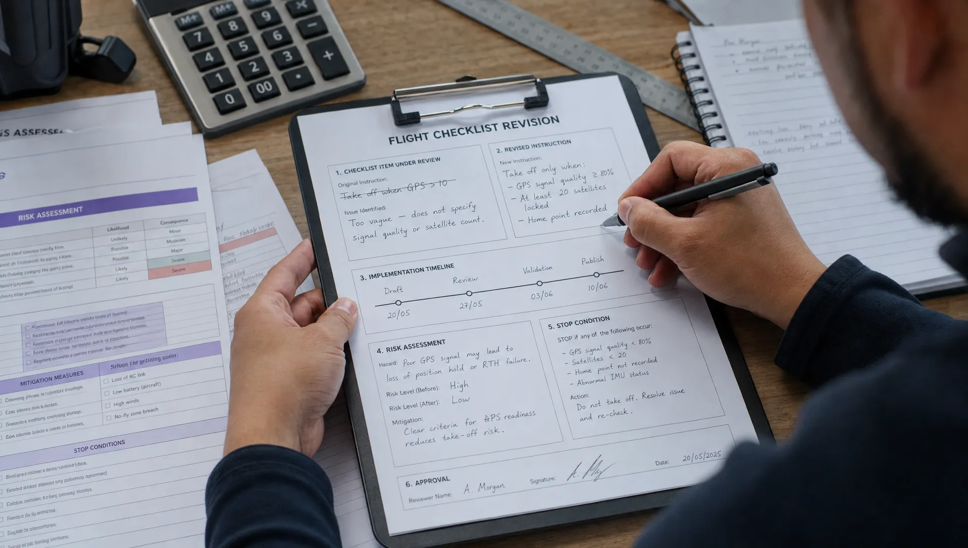 How to Update Drone Flight Checklists After a Near Miss →
 FAA Drone Regulations for Commercial Use in Paid Training →
 What a Drone Line of Sight Waiver Means for Project Scope →
 Drone Regulations for Commercial Use With Mixed Aircraft Fleets →
 FAA 107 Test Study Plans for Shift Workers →
 How to Match a DJI Flight Log to a Client Job →
 Drone Regulations Under 250 Grams for Mixed-Weight Fleets →
 Drone Safety Guidelines for Working Near Water →
 FAA Rules and Regulations for Drones on Shared Worksites →