
How to Compare a Drone Flying Weather App for Site Teams
A drone flying weather app should help your site team make a consistent go/no-go decision, not simply display a reassuring green icon. For survey crews, utility inspectors and emergency services, the useful questions are practical: what conditions are expected at the actual site, how current is the forecast and will everyone interpret it the same way?
Compare apps against your missions, aircraft and field workflow. A detailed forecast is valuable, but so are clear timestamps, consistent units and a usable view on a phone when the team is already on site.
Start with the job you need to complete
Before comparing interfaces or subscription plans, describe the decision the app must support. A short inspection beside an exposed structure has different weather sensitivities from a long mapping mission over open ground.
Define the site coordinates, proposed operating heights, flight window and aircraft. Include the time needed for setup, repeat passes and recovery, rather than checking only the planned take-off time.
Also identify what could make the mission unproductive even when conditions remain within the aircraft’s published limits. Changing light can undermine image consistency. Wind can affect positioning and battery demand. Low cloud or mist can obscure the subject you need to inspect.
This gives you a meaningful comparison brief: the app must support a particular job, not provide a universal answer about whether drones can fly.
What should a drone flying weather app show?
Wind, gusts and the height of the forecast
Start with wind information. Check whether the app distinguishes sustained wind from gusts and makes the forecast height explicit. A surface forecast alone does not describe conditions along an elevated inspection route.
Ask whether height means metres above ground level or altitude above mean sea level. Where the model’s terrain differs from the real site, even a correctly labelled height needs careful interpretation.
A useful drone flying weather app makes these distinctions visible rather than hiding them behind a single suitability score. Wind direction matters too: a route that starts downwind may require a more demanding return leg.
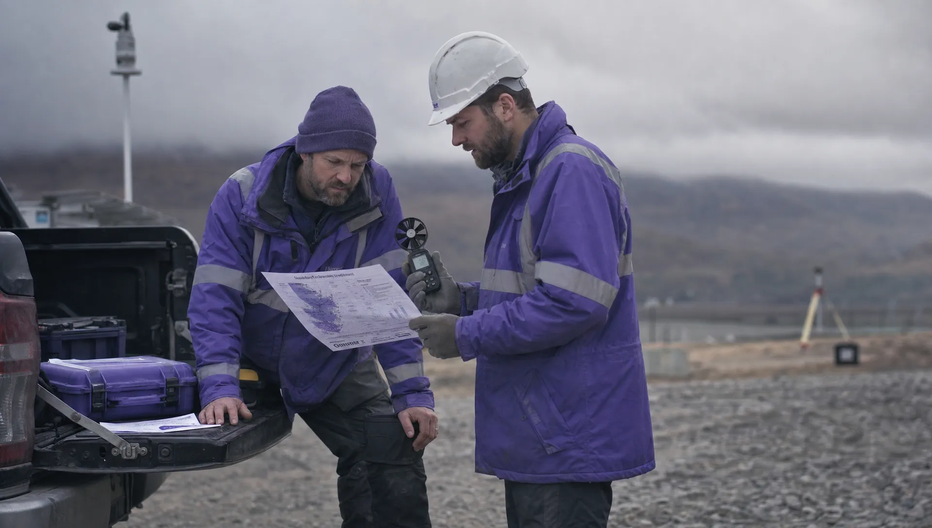
No forecast resolves every local effect. Buildings, ridgelines, trees and structures can produce shelter, turbulence or acceleration that a model does not capture. Ground observations help check local conditions, but a handheld anemometer reading does not establish the wind at flight height.
Rain, visibility, cloud and temperature
Compare how each candidate presents precipitation timing, probability and intensity. A percentage chance of rain is not a measure of how heavy it will be, and an hourly forecast may conceal a brief shower within your operating window.
Where radar is available, check the observation timestamp, geographic coverage and whether the display shows observed rainfall or a forecast animation. A moving map can look current even when its underlying observations are delayed.
Visibility and cloud information deserve separate attention, particularly around hills, coastal sites and elevated assets. Confirm the reference used for cloud-base height before comparing it with your planned route.
Temperature should be easy to find and compare with the aircraft and battery documentation. Cold conditions can affect battery performance, while high temperatures may constrain equipment use. Weather protection ratings should not be treated as blanket approval for wet-weather operations.
Forecast source, freshness and uncertainty
For a drone flying weather app, data transparency is more valuable than an unexplained confidence badge. Look for the forecast provider or model, the latest update and the time each forecast applies to.
The model run time and forecast valid time are different. A forecast can describe this afternoon while having been generated much earlier. The app should make that distinction understandable.
Check how it handles uncertainty. A precise-looking number does not mean the weather is equally predictable at every location or lead time. The Met Office weather guides provide useful background for interpreting forecasts and weather conditions.
Comparing two apps is not necessarily an independent cross-check either. If both use the same underlying model, agreement may reflect a shared source rather than separate evidence.
Use a weighted comparison scorecard
Agree your assessment criteria before testing candidates. Otherwise, an attractive interface or one successful forecast can dominate the decision.
The following weights are a suggested starting point, not an industry standard. Adjust them to suit your work, especially if your teams operate in exposed terrain or areas with unreliable mobile coverage.
| Criterion | Suggested weight | Evidence to look for |
|---|---|---|
| Wind and forecast height | 25% | Clear sustained wind, gusts, direction and height reference |
| Other weather variables | 20% | Useful precipitation, visibility, cloud and temperature information |
| Freshness and transparency | 15% | Visible source, update time and forecast valid time |
| Location and time precision | 10% | Exact site selection, clear time zone and a usable mission window |
| Team consistency | 10% | Repeatable settings and a practical way to share the briefing |
| Field usability | 10% | Legible mobile display and clear behaviour with weak connectivity |
| Total cost | 10% | Suitable plan limits, access arrangements and predictable charges |
Score each criterion from one to five, using the same scale for every candidate. Multiply the rating divided by five by its weight. A rating of four for a 25% criterion contributes 20 points to the total.
The strongest drone flying weather app for your team is the one that meets your essential requirements and scores well across the complete workflow. Do not let a high total compensate for a missing capability your missions depend on.
For example, treat an unclear forecast timestamp or an unsuitable wind-height reference as a failed essential requirement if either prevents a defensible assessment.
Check whether the whole team can use it consistently
Shared settings and briefings
A forecast becomes less useful when the planner reads metres per second, the pilot reads miles per hour and the client receives an unlabeled screenshot.
Establish a common unit set, time-zone convention and method for identifying the site. Ask whether candidates support shared locations, saved settings or exportable briefings, but verify these functions rather than assuming they exist.
If sharing relies on screenshots, include the coordinates or site name, forecast window, units and capture time. A cropped green status indicator gives the recipient too little context.
When evaluating a drone flying weather app, have a planner and a field pilot independently assess the same mission. If they reach different conclusions because the display or settings are ambiguous, investigate that before rollout.
Connectivity, alerts and subscription limits
Test the app on the devices and connections your crews actually use. A desktop comparison will not reveal small labels, awkward touch controls or slow loading in the field.
Check what happens when connectivity drops. Does previously loaded information remain available, and is it clearly marked with its age? Cached data can support a briefing, but it must not masquerade as a fresh update.
For alerts, verify which conditions trigger them, whether they are location-specific and whether they depend on device permissions or background activity. Treat alerts as prompts to reassess, not automatic operating decisions.
Compare the plan that supplies the capabilities you need. Check user access, saved-site limits, forecast horizons and any separate charges for advanced data. A low headline price is not useful if every crew needs an unsuitable workaround.
Run a controlled trial on real sites
Compare the same locations and times
Choose several representative sites: an exposed location, a site near structures and a place where visibility or low cloud regularly affects scheduling. Include more than one weather pattern if your trial period allows it.
Check each candidate at the same coordinates, forecast heights and valid times. Record what it predicted when the planning decision was made, then retain the later updates separately. Otherwise, you may accidentally compare an early prediction from one app with a newer forecast from another.
A drone flying weather app should be tested for decision usefulness as well as numerical accuracy. Record whether it gave the team enough notice to delay mobilisation, shorten the mission or select a more suitable operating window.
A short trial can reveal workflow problems. It cannot establish year-round forecast performance across every region you serve.
Check conditions safely at the site
At arrival, compare the forecast with available observations. Note wind and gusts at the measurement location, precipitation, visibility and signs of changing conditions.
Record the observation time and measurement context. A sheltered ground reading is not comparable with modelled wind over an exposed flight route. Nearby aerodrome reports, often presented as METARs, can offer another reference, but they describe conditions at the reporting station rather than necessarily at your site.
Do not fly simply to test a forecast when conditions are unsuitable. A cancelled mission still provides useful evidence about how well the app supported the decision.
Review disagreements, not just averages
After each trial, examine meaningful discrepancies. Did the forecast miss a shower? Did a timestamp confuse the crew? Was the site pin placed in the nearest town rather than at the asset?
The best drone flying weather app is not necessarily the one with the closest average wind prediction during a small sample. A tool that obscures gusts or misleads users about data age can create a more serious operational problem than a modest forecast difference.
Separate presentation problems from forecasting limitations. Some issues can be addressed through settings or training; others may require a different data source. Keep that distinction in your purchasing notes.
Keep weather thresholds separate from app scores
Set operating thresholds using the specific aircraft documentation, your operating procedures and the site risk assessment. For example, the DJI Matrice 350 RTK specifications provide aircraft-specific environmental information. Do not transfer one model’s published limits to another aircraft.
A manufacturer’s maximum wind-resistance figure is not a target for routine operations. Your mission may need a lower threshold because of gusts, exposure, recovery arrangements or the quality of the data you need to capture.
Distinguish an early warning threshold from a stop threshold. An approaching warning can trigger another weather check or a shorter mission window; a stop threshold calls for the action defined in your procedures.
Your drone flying weather app should inform that process rather than silently define it. Document how the decision changes when conditions deteriorate, observations contradict the forecast or the data becomes stale.
Connect those weather decisions to your wider drone flight risk assessment. Urgent deployments need a clear reassessment process just as much as scheduled survey work.
Frequently asked questions
Is a general weather app enough for drone operations? It may provide useful background, but check whether it supplies the wind heights, gusts, timing and data transparency your missions require. A familiar interface does not compensate for missing information.
Should we compare more than one forecast source? A second source can reveal disagreement worth investigating. Check whether the sources are genuinely different, and do not average conflicting forecasts into an apparently safe answer without understanding the difference.
Can a green flying score be trusted? Only as a summary of the app’s inputs and configured thresholds. It cannot fully account for local turbulence, aircraft condition, site hazards or your mission’s particular requirements.
How often should the team refresh its weather assessment? Reassess during planning, before mobilisation and on arrival, then respond to changing conditions throughout the operation. Choose further checks according to forecast volatility and mission duration rather than assuming one fixed interval fits every job.
What should we prioritise when choosing a drone flying weather app? Prioritise relevant weather data, visible freshness and consistent interpretation across the team. Then assess field usability and total cost through a structured trial.
Connect the choice to your planning workflow
Select the weather tool using your essential requirements, weighted scorecard and site-trial evidence. Record its limitations alongside the reasons for choosing it.
For the wider planning process, compare Dronedesk’s flight planning, configurable checklists and risk assessment features with your team’s requirements. Verify your chosen weather provider and any integration needs separately rather than assuming a particular connection is available.
 How to Update Drone Flight Checklists After a Near Miss →
 What a Drone Line of Sight Waiver Means for Project Scope →
 Drone Regulations for Commercial Use With Mixed Aircraft Fleets →
 FAA 107 Test Study Plans for Shift Workers →
 How to Match a DJI Flight Log to a Client Job →
 Drone Regulations Under 250 Grams for Mixed-Weight Fleets →
 Drone Safety Guidelines for Working Near Water →
 FAA Rules and Regulations for Drones on Shared Worksites →
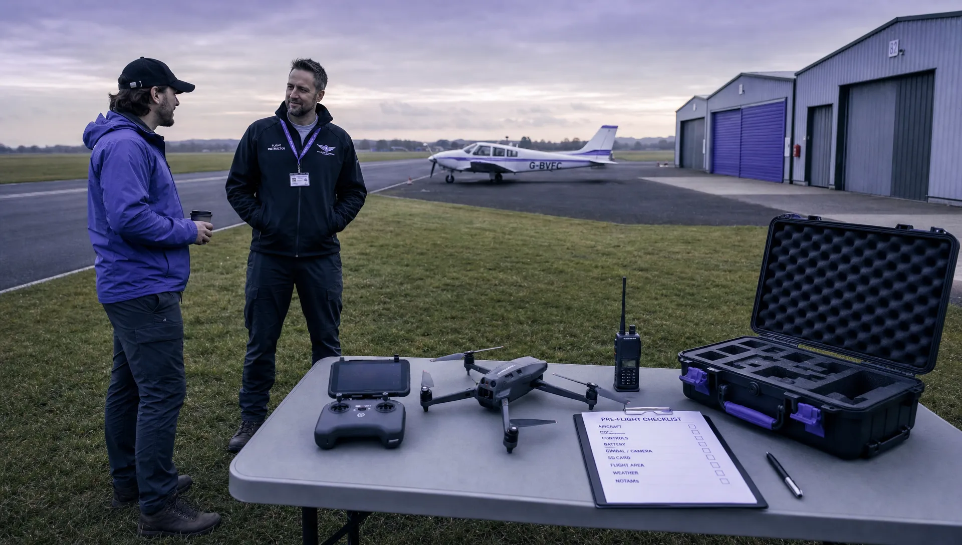 Drone Pilot 107 Refresher Training After a Career Break →
 How to Track Drone Regulations Worldwide as a Business →